Places near here
Photo credits
- National Inventory of Architectural Heritage
- Irishrover1980, Wikimedia Commons · CC BY-SA 4.0
- Algirdas at Lithuanian Wikipedia, Wikimedia Commons · Public domain
- Sitomon, Wikimedia Commons · CC BY-SA 2.0
- Sarah777 at en.wikipedia, Wikimedia Commons · Public domain
- Mike Searle, Geograph · CC BY-SA 2.0
- AmandaMcCrann, Wikimedia Commons · CC BY-SA 4.0
- Mike Searle, Wikimedia Commons · CC BY-SA 2.0
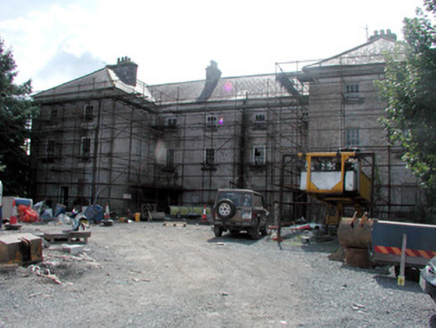 barracks659 yd
Explorer Tom Barracks in Ardnanagh was built because two lads bet in the pub that they could house cavalrymen without getting paid. The assembly area is still waiting for someone to start the drill, though the horses are all gone now. Wave at the boundary wall and see if it marches in place.
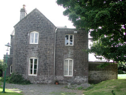 station master's house717 yd
Explorer Tom Station master's house in Ardnanagh is standing guard over memories of trains that haven’t run here for decades, which is a bit like guarding an empty parking lot. Rumour has it they held a dance there that went on so long the station clock actually exploded from embarrassment. Check if any of the dressed stonework looks slightly tipsy!
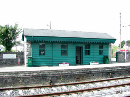 Roscommon Railway StationBuilding misc · 718 yd
Explorer Tom Roscommon Railway Station witnessed a love story that went wrong because someone missed their train, probably. The bridge there is so decorative it looks like it’s wearing a fancy hat. Keep an eye out for that artistic flair on the complex!
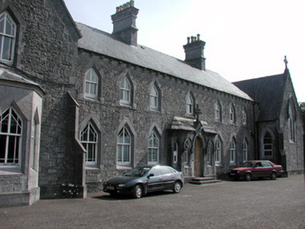 Convent of the Immaculate ConceptionConvent/nunnery · 746 yd
Explorer Tom Convent of the Immaculate Conception in Ardnanagh is hiding a treasure that is definitely just a biscuit tin, but the nuns make it sound like it’s solid gold. The Gothic Revival features are austere and serious, which contrasts nicely with the fact that there’s a nun’s graveyard right next door with fancy ironwork. It’s handsome, well-proportioned, and probably judging your outfit as you pass.
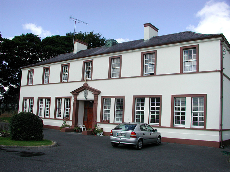 Roscommon Christian Brothers MonasteryPriory · 766 yd
Explorer Tom Roscommon Christian Brothers Monastery thinks the rabbits outside are trying to join the congregation. They have very strong opinions about the stucco door surround and who gets to sit where. Keep an eye out for any long ears poking through the windows.
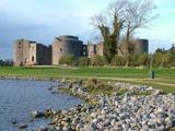 Roscommon CastleCastle · 1754 yd
Explorer Tom Roscommon Castle in County Roscommon would explain the 1800s to a teenager by saying, 'Imagine your mum's house, but with more damp and fewer Wi-Fi signals.' It’s been sitting there judging everyone since before we had proper trousers, still looking mighty smug about it. Go now, before it gets famous.
 Pedunculate Oak2.6 mi
Explorer Tom Pedunculate Oak in County Roscommon is deeply suspicious of the postman and probably thinks he’s stealing its acorns every single morning. It’s got this grumpy old man energy that makes you want to tip your hat as you pass by. Find a local and ask them the real story, then come back and tell me.
 European Yew3.5 mi
Explorer Tom European Yew in County Roscommon had a cow try to buy it once, which is either genius or absolute madness. The tree just stood there looking unimpressed while the farmer argued about the price of such an ancient specimen. Bring a jacket, it's never as warm as I promise.
 Stone sculptureStone sculpture, aniconic · 3.7 mi
Explorer Tom Standing stone in Castleteheen is tiny and lost inside a rath, wondering why the Vikings didn’t find it sooner. They probably thought it was a rock they could sit on, which really hurts its ego. Snap one photo, then put the phone away and actually look.
 CastleHouse, fortified house · 4.2 mi
Explorer Tom Castle in Toberavaddy holds the fake world record for the most awkward L-shaped architecture ever attempted. Edward Ormsby owned it, but I doubt he knew what to do with all that extra corner. Tell it a joke, it's been a long time since anyone did.
 IndicatedRound tower · 6.5 mi
Explorer Tom Round tower in Carroweighter is constantly losing a rivalry with the ones in Kildare, which are way too showy for their own good. It stands there with its arms crossed, pretending it doesn’t care that everyone else gets the tourists. Count the crows, then count them again to be sure.
_-_geograph.org.uk_-_1952978.jpg/250px-Castles_of_Connacht,_Glinsk,_Galway_(2)_-_geograph.org.uk_-_1952978.jpg "Photo: Mike Searle, Wikimedia Commons · CC BY-SA 2.0") Bawn in Glinsk (ballymoe By.)Bawn · 9.4 mi
Bawn in Glinsk (ballymoe By.)Bawn · 9.4 miExplorer Tom Bawn in Glinsk listens to what goes on inside the walls and probably hears the Burkes arguing about who left the light on in 1630. It’s a well-preserved semi-fortified house that looks like it’s judging your posture, so stand up straight or don’t bother knocking. It's free, it's odd, what more do you want?
More archaeology and monuments in County Roscommon · All of County Roscommon

What do you know about this place?Tap to add a comment or ask a question