What is recorded here
Marked 'Fort' on OS 1836 and 1876 eds. Situated just S of the summit of a high drumlin ridge in pasture-land. A much-disturbed, slightly raised, formerly circular area (int. diam. 29.9m) enclosed by a very slight earthen bank from S-SSW. Elsewhere the plan of the site has been much distorted by the erection of modern field boundaries.
From the National Monuments Service (Archaeological Survey of Ireland) record CV021-054
The monument record does not grant public access. Check the route and ask the landowner before entering private land.
- What survives
- Recorded monument
Places near here
Photo credits
- National Inventory of Architectural Heritage
- Deadstar, Wikimedia Commons · CC BY-SA 4.0
- Malene Thyssen, Wikimedia Commons · CC BY-SA 3.0
- Eric Jones, Geograph · CC BY-SA 2.0
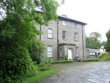 Corravahan HouseRectory/glebe/vicarage/curate's house · 712 yd
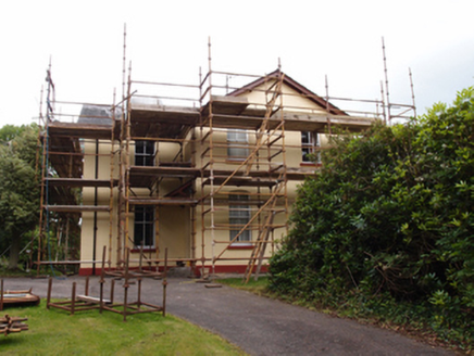 Drung RectoryRectory/glebe/vicarage/curate's house · 985 ydIndicatedFairy fort / earthen ringfort · 1223 ydCastleCastle, unclassified · 1695 ydCorgarveMountain / peak · 1.3 mi
 Fin Mc Cools FingersStone row · 1.4 miCastleCastle, unclassified · 1.7 miGarden IsleIslet · 2.1 miArdamaghMountain / peak · 2.3 miGiant's GraveArchaeological place · 3.0 mi
 European Beech3.3 mi
 Cormeen Glebe ForestForest · 4.7 mi
More archaeology and monuments in County Cavan · All of County Cavan
What do you know about this place?