
What is recorded here
Petty's map of 1685 marked a castle in Lislin, though the Annalee River and human ambition have since erased most of its shape. A broad circular scar remains where water and soil once defended a unknown hall. Lislin House still stands beside the ghost, carrying thick walls that may have swallowed older stones. Five horse skulls beneath its drawing room suggest the building fed on sacrifice before it learned to host guests.
A castle is marked within this townland on Petty's map of 1685. Site has been largely levelled. Remains comprise a raised circular area (diam. c. 49m E-W) bounded by the Annalee River from SE-S-SSW and elsewhere by a much-disturbed scarp. Lislin House which borders the site from NNE-E-SE was inspected by Davies (1948a, 120) and he concluded that despite its thick walls and marked batter, it did not appear to be of early 17th-century date. He also recorded that five horse skulls, most likely some form of foundation offering, were found beneath the drawing-room floor
The above description is derived from the published 'Archaeological Inventory of County Cavan' (Dublin: Stationery Office, 1995). In certain instances the entries have been revised and updated in the light of recent research.
Date of upload/revision: 22 December 2008
The monument record does not grant public access. Check the route and ask the landowner before entering private land.
- What survives
- Recorded monument
Places near here
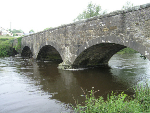 Ballynallon Bridgebridge · 700 yd
 Church in KilmacnoranChurch · 1157 yd
 Drumcarn Ho.Castle, unclassified · 1.3 mi
 Ceremonial enclosure in NeddaiaghCeremonial enclosure · 1.7 mi
 IndicatedFairy fort / earthen ringfort · 1.7 mi
 CorgarveMountain / peak · 1.8 mi
 Giant's GraveArchaeological place · 1.9 mi
 ArdamaghMountain / peak · 2.0 mi
 Embanked enclosureBawn · 2.1 mi
 Garden IsleIslet · 2.6 mi
 Rookery WoodForest · 2.7 mi
 Castleterra ForestForest · 2.8 mi
Other information
Photo: Credit not shown in the picture search · Rights wording not checked; contact us if this picture should be removed