
What is recorded here
Slightly raised circular area (int. diam. c. 75m) enclosed from SW-W-N by a steep-sided waterlogged fosse and from N-E-SE by a barely perceptible scarp. Davies (1948, 95) recorded that the site 'is locally known as 'the Caldragh', and the townland name suggests the former existence of a church'.
The above description is derived from the published 'Archaeological Inventory of County Cavan' (Dublin: Stationery Office, 1995). In certain instances the entries have been revised and updated in the light of recent research.
Date of upload/revision: 22 December 2008
A local church or high cross; wider significance not recorded.
The monument record does not grant public access. Check the route and ask the landowner before entering private land.
- What survives
- Recorded monument
Places near here
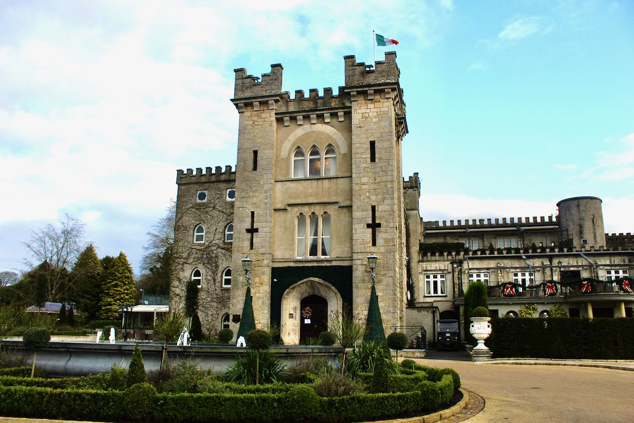 CastleCastle, unclassified · 969 yd
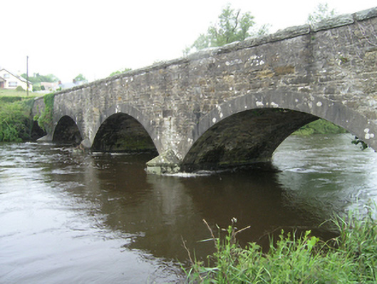 Ballynallon Bridgebridge · 1.0 mi
 Drumcarn Ho.Castle, unclassified · 1.1 mi
 CorgarveMountain / peak · 1.1 mi
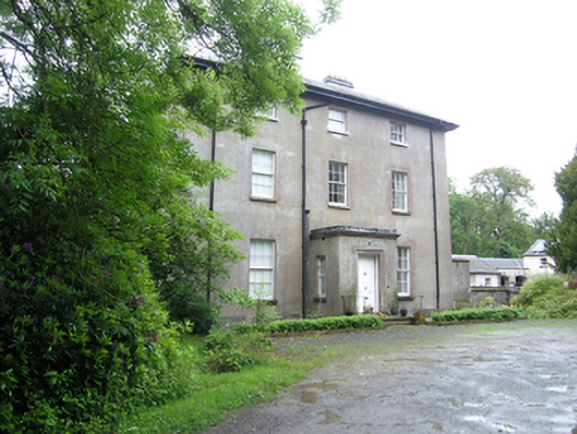 Corravahan Houserectory/glebe/vicarage/curate's house · 1.3 mi
 IndicatedFairy fort / earthen ringfort · 1.3 mi
 ArdamaghMountain / peak · 1.4 mi
 Ceremonial enclosure in NeddaiaghCeremonial enclosure · 1.7 mi
 Garden IsleIslet · 2.0 mi
 Agroforestry plotForest · 2.2 mi
 Castleterra ForestForest · 2.4 mi
 Giant's GraveArchaeological place · 2.6 mi
Other information
Photo: Credit not shown in the picture search · Rights wording not checked; contact us if this picture should be removed