What is recorded here
Marked 'Fort' on OS 1836 and 1876 eds. Situated on the summit of a drumlin hill. Apart from a kink in the field boundary at N there are no visible remains at ground level.
From the National Monuments Service (Archaeological Survey of Ireland) record CV021-044
This remains an important historical record, but the official description says the monument is no longer visible or has been destroyed. The monument record does not grant public access. Check the route and ask the landowner before entering private land.
- What survives
- No visible remains or recorded as destroyed
Places near here
Photo credits
- National Inventory of Architectural Heritage
- Deadstar, Wikimedia Commons · CC BY-SA 4.0
- Malene Thyssen, Wikimedia Commons · CC BY-SA 3.0
- Sitomon, Wikimedia Commons · CC BY-SA 2.0
- Peter Gerken, Geograph · CC BY-SA 2.0
CorgarveMountain / peak · 1095 yd Castleterra RectoryRectory/glebe/vicarage/curate's house · 1117 ydCastleCastle, unclassified · 1326 ydCorravahan HouseRectory/glebe/vicarage/curate's house · 1675 ydEnclosure in OuleyEnclosure · 1.2 miGarden IsleIslet · 1.4 miBallyhaise HouseCastle, unclassified · 1.5 miFin Mc Cools FingersStone row · 1.6 miArdamaghMountain / peak · 1.7 miEuropean Beech2.7 miEuropean Yew4.3 miRambling at Farnham EstateVisitor information · 5.4 mi
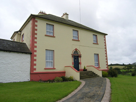 Castleterra RectoryRectory/glebe/vicarage/curate's house · 1117 ydCastleCastle, unclassified · 1326 yd
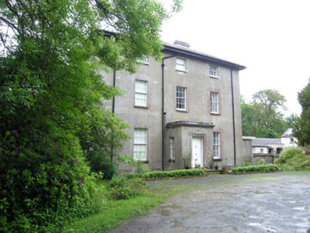 Corravahan HouseRectory/glebe/vicarage/curate's house · 1675 ydEnclosure in OuleyEnclosure · 1.2 miGarden IsleIslet · 1.4 miBallyhaise HouseCastle, unclassified · 1.5 mi
 Fin Mc Cools FingersStone row · 1.6 miArdamaghMountain / peak · 1.7 mi
 European Beech2.7 mi
 European Yew4.3 mi
 Rambling at Farnham EstateVisitor information · 5.4 mi
More archaeology and monuments in County Cavan · All of County Cavan
What do you know about this place?