What is recorded here
On the NE-facing slope of a drumlin. Depicted as a circular enclosure with the designation 'Fort' on the 1837 ed. of the OS 6-inch map. A raised circular area (diam. c. 52m) defined from E-S-WSW by a bank, which has been incorporated into a field bank, and elsewhere by a scarp (H 1.2-1.5m). There is no trace of a fosse. A break (Wth 3.8m) in the bank at SE probably marks the original entrance. O'Donovan
Date of upload: 26 August 2011
From the National Monuments Service (Archaeological Survey of Ireland) record LF005-008
This remains an important historical record, but the official description says the monument is no longer visible or has been destroyed. The monument record does not grant public access. Check the route and ask the landowner before entering private land.
- What survives
- No visible remains or recorded as destroyed
Places near here
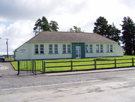 Seárd Scoil Naomh PádraigSchool · 1013 yd
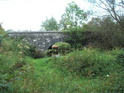 bridge1129 ydBarrowBarrow, ring-barrow · 1335 yd
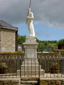 1798 MonumentMonument · 1.2 mi
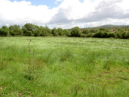 battlefield1.2 miBallinamuck Bog LoopWalking route · 1.9 miNative Woodland Trust: Farnaght ReserveWood · 2.6 mi
 Portal tomb in AghnacliffPortal tomb · 4.7 mi
 First World War MemorialMemorial · 9.1 mi
 Granard MotteMotte-and-bailey castle remains · 10 mi
 Moat of GranardCastle, motte and bailey · 10 mi
 Coolamber CastleHouse, fortified house · 14 mi
Pictures: National Inventory of Architectural Heritage; Wanfried-Dublin, Wikimedia Commons · CC BY-SA 4.0; 瑞丽江的河水, Wikimedia Commons · CC BY-SA 4.0; 2ManyCats4Me, Wikimedia Commons · CC0; Granard Motte.png : Smcq Derivative work: Hogweard, Wikimedia Commons · CC BY-SA 3.0; Charles T. G. Clarke, Wikimedia Commons · CC BY-SA 4.0
More archaeology and monuments in County Longford · All of County Longford
What do you know about this place?