What is recorded here
On a SE-facing slope in pasture. Depicted as a small, circular tree-ring on the 1837 ed. of the OS 6-inch map. A report in 1990 (SMR file) interpreted the then extant remains as those of a ring-barrow, which was later reused as a tree-ring. It has since been levelled and is not visible at ground level.
From the National Monuments Service (Archaeological Survey of Ireland) record LF005-002
The monument record does not grant public access. Check the route and ask the landowner before entering private land.
- What survives
- Recorded monument
Places near here
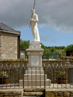 1798 MonumentMonument · 886 yd
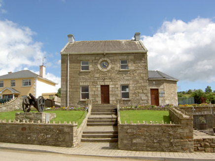 Ballinamuck 1798 Visitor CentreRic barracks · 902 yd
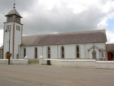 Saint Patrick's Catholic ChurchChurch/chapel · 942 ydMan-made underground passage in ShanmullaghMan-made underground passage · 1004 yd
 Battle of BallinamuckMajor battlefield · 1056 ydBallinamuck Bog LoopWalking route · 1.9 miNative Woodland Trust: Farnaght ReserveWood · 2.3 miNorth Midland Transport CollectionMuseum · 3.8 miOratoryCastle, tower house · 4.3 miDerrinch IslandIslet · 4.9 mi
 Portal tomb in AghnacliffPortal tomb · 5.0 miCastleCastle, unclassified · 5.1 mi
Pictures: National Inventory of Architectural Heritage; Oliver Dixon, Wikimedia Commons · CC BY-SA 2.0; Wanfried-Dublin, Wikimedia Commons · CC BY-SA 4.0
More archaeology and monuments in County Longford · All of County Longford
What do you know about this place?