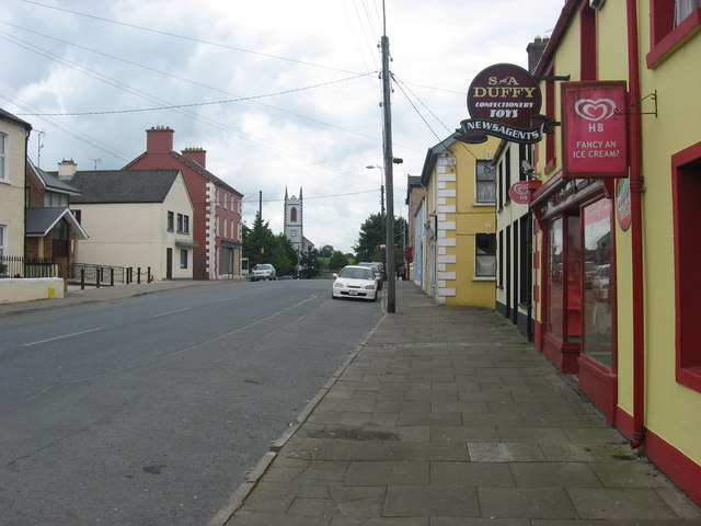
What is recorded here
Not marked on OS 1836 or 1876 eds. but known locally as a 'fort'. Raised circular area (int. diam. c. 32m NW-SE) enclosed by a narrow, shallow trench and low, narrow earthen bank, both of which are similar in morphology to field boundaries in the vicinity. Original entrance not recognisable.
The above description is derived from the published 'Archaeological Inventory of County Cavan' (Dublin: Stationery Office, 1995). In certain instances the entries have been revised and updated in the light of recent research.
Date of upload/revision: 22 December 2008
A local fairy fort (ringfort/rath); wider significance not recorded.
The monument record does not grant public access. Check the route and ask the landowner before entering private land.
- What survives
- Recorded monument
Places near here
 Bawn in KillyfanaBawn · 651 yd
 Clonandra Ramulligan Bog WoodWood · 951 yd
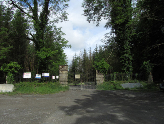 Castle Saundersondemesne walls/gates/railings · 1073 yd
 Rabbit WarrenWood · 1181 yd
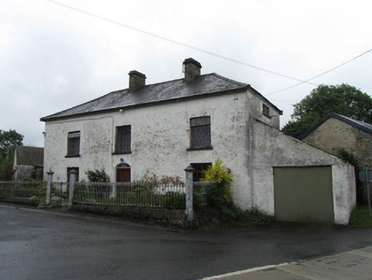 coaching inncoaching inn · 1469 yd
 ClonandraMountain / peak · 1.0 mi
 DrumakeenanMountain / peak · 1.2 mi
 RuinsHouse, fortified house · 1.3 mi
 HOLY WELL in DrummullyHOLY WELL · 1.7 mi
 Worm Ditch or Black Pigs RaceArchaeological place · 1.9 mi
 Annagh Lough BeachBeach / strand · 3.6 mi
 Belturbet Heritage Railway Station MuseumMuseum · 3.8 mi
Other information
Photo: Credit not shown in the picture search · Rights wording not checked; contact us if this picture should be removed