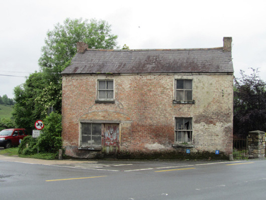
What is recorded here
Detached two-bay two-storey house, built c.1860, with former shopfront at ground level, and three bays to rear. Now disused. Pitched slate roof, clay ridge tiles, brick chimneystacks to gables, cast-iron rainwater goods, corbel course to eaves. Formerly rendered brick walls in English garden wall bond on rubble stone base visible to rear, vestiges of lime render remaining. Two-over-two timber sash windows with brick flat-arch heads and stone sills. Semi-elliptical arch to eastern bay, reduced in size historically to form square-headed opwning with display window to side of four-panelled door. Timber sheeted rear door. Opens directly to road and set diagonally at crossroads.
Set in a prominent roadside location at a crossroads, this house was also in use as a public house, and once played a significant social role in the surrounding area. It forms part of an interesting group with the former inn, bakery, and smithy that were located in the building to the north. Its red brick construction is unusual in rural areas, and retains its historic form and many features. The importance of this crossroads in the past can be seen in the Ordnance Survey map of 1836 map, which predates this house, and shows buildings on the corner sites to the west.
This does not grant access. Most recorded buildings are privately owned; view them only from public ground unless the owner allows entry.
Places near here
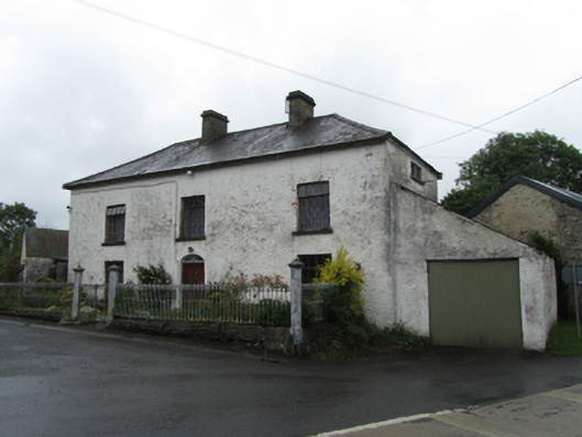 coaching inncoaching inn · 28 yd
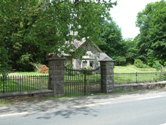 Cloverhillgate lodge · 716 yd
 Bawn in KillyfanaBawn · 884 yd
 Rabbit WarrenWood · 1360 yd
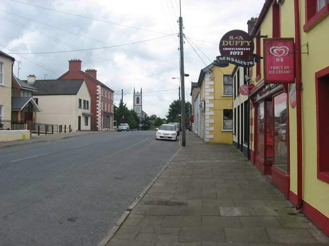 IndicatedFairy fort / earthen ringfort · 1496 yd
 Drummoy Coraghaloo Derryhoo Bog WoodForest · 1687 yd
 DrumakeenanMountain / peak · 1.7 mi
 ClonandraMountain / peak · 1.9 mi
 RuinsHouse, fortified house · 2.0 mi
 Friars Fort (Site of)Enclosure · 2.0 mi
 Annagh Lough BeachBeach / strand · 2.8 mi
 Belturbet Heritage Railway Station MuseumMuseum · 3.1 mi
Other information
Photo: National Inventory of Architectural Heritage · Website use allowed for educational or private purposes with source credit