
What is recorded here
Marked on OS 1836 and 1876 eds. Situated on a low peninsula jutting into Common's Lough. Not visible at ground level.
The above description is derived from the published 'Archaeological Inventory of County Cavan' (Dublin: Stationery Office, 1995). In certain instances the entries have been revised and updated in the light of recent research.
Date of upload/revision: 22 December 2008
The monument record does not grant public access. Check the route and ask the landowner before entering private land.
- What survives
- Recorded monument
Places near here
 Friar's FortArchaeological place · 20 yd
 Religious houseReligious house, unclassified · 653 yd
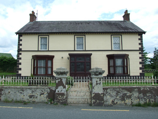 Sugarloafhouse · 1025 yd
 Enclosure in BunEnclosure · 1438 yd
 Grilly Castle in RuinsCastle, unclassified · 1.2 mi
 Belturbet Heritage Railway Station MuseumMuseum · 1.2 mi
 Welcome to Belturbet StationVisitor information · 1.2 mi
 Belturbet Railway Station Visitor CentreHeritage attraction · 1.3 mi
 Putiaghan Lower ForestForest · 1.4 mi
 Bomb Victims MemorialMemorial · 1.4 mi
 Mill WalkVisitor information · 1.6 mi
 Turbet IslandWood · 1.6 mi
Other information
Photo: Credit not shown in the picture search · Rights wording not checked; contact us if this picture should be removed