What is recorded here
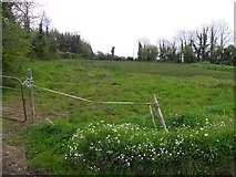
Enclosure in Bun is an enclosure in County Cavan, Ireland.
From the National Monuments Service (Archaeological Survey of Ireland) record CV015-075
The monument record does not grant public access. Check the route and ask the landowner before entering private land.
- What survives
- Recorded monument
Places near here
Photo credits
- Deadstar, Wikimedia Commons · CC BY-SA 4.0
- Kenneth Allen, Geograph · CC BY-SA 2.0
- National Inventory of Architectural Heritage
Friars Fort (Site of)Enclosure · 1438 ydFriar's FortArchaeological place · 1446 yd St Andrew’s Church of Ireland ChurchChurch/chapel · 1667 ydPutiaghan Lower ForestForest · 1694 ydAshgrove HouseCountry house · 1699 ydBelturbet Heritage Railway Station MuseumMuseum · 1.4 miBelturbet Railway Station Visitor CentreHeritage attraction · 1.4 miWelcome to Belturbet StationVisitor information · 1.4 miAshgroveMountain / peak · 1.4 miDrumcalpinMountain / peak · 1.5 miBomb Victims MemorialMemorial · 1.6 miMill WalkVisitor information · 1.7 mi
 St Andrew’s Church of Ireland ChurchChurch/chapel · 1667 yd
 Putiaghan Lower ForestForest · 1694 yd
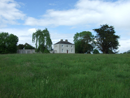 Ashgrove HouseCountry house · 1699 yd
 Belturbet Heritage Railway Station MuseumMuseum · 1.4 mi
 Belturbet Railway Station Visitor CentreHeritage attraction · 1.4 mi
 Welcome to Belturbet StationVisitor information · 1.4 miAshgroveMountain / peak · 1.4 miDrumcalpinMountain / peak · 1.5 miBomb Victims MemorialMemorial · 1.6 mi
 Mill WalkVisitor information · 1.7 mi
More archaeology and monuments in County Cavan · All of County Cavan
What do you know about this place?