What is recorded here
Depicted as a large building (dims c. 20m E-W; c. 10m N-S) perhaps with a wide projection on the N side, and described as Grilly Castle in Ruins on the 1835 ed. of the OS 6-inch map and as (Site of) on subsequent eds. It is situated on the W slope of a drumlin and on the S side of an old road to Belturbet. Possibly an O'Reilly stronghold. Although there are now no visible remains of this monument at ground level, an earlier account (Davies 1947a, 91) noted some grassed-over mounds possibly marking the outline of a small building. During land clearance in the vicinity in the early 1980s red brick and rubble were uncovered (local information).
Depicted as a large building (dims c. 20m E-W; c. 10m N-S) perhaps with a wide projection on the N side, and described as Grilly Castle in Ruins on the 1835 ed. of the OS 6-inch map and as (Site of) on subsequent eds. It is situated on the W slope of a drumlin and on the S side of an old road to Belturbet. Possibly an O'Reilly stronghold. Although there are now no visible remains of this monument at ground level,…
From the National Monuments Service (Archaeological Survey of Ireland) record CV011-018
The monument record does not grant public access. Check the route and ask the landowner before entering private land.
- What survives
- Recorded monument
Places near here
Derryarmush ForestForest · 1246 yd bridge1580 ydSugarloafHouse · 1644 ydFriar's FortArchaeological place · 1.2 miFriars Fort (Site of)Enclosure · 1.2 miBomb Victims MemorialMemorial · 1.3 miBelturbet Heritage Railway Station MuseumMuseum · 1.3 miWelcome to Belturbet StationVisitor information · 1.3 miBelturbet Railway Station Visitor CentreHeritage attraction · 1.4 miMill WalkVisitor information · 1.5 miSit of CastleCastle, motte and bailey · 1.6 miPutiaghan Lower ForestForest · 2.1 mi
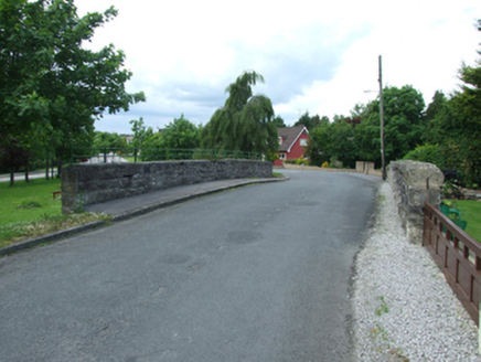 bridge1580 yd
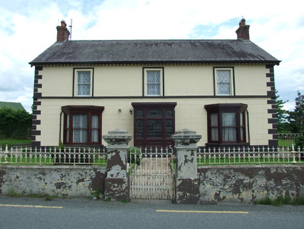 SugarloafHouse · 1644 ydFriar's FortArchaeological place · 1.2 miFriars Fort (Site of)Enclosure · 1.2 miBomb Victims MemorialMemorial · 1.3 mi
 Belturbet Heritage Railway Station MuseumMuseum · 1.3 mi
 Welcome to Belturbet StationVisitor information · 1.3 mi
 Belturbet Railway Station Visitor CentreHeritage attraction · 1.4 mi
 Mill WalkVisitor information · 1.5 miSit of CastleCastle, motte and bailey · 1.6 mi
 Putiaghan Lower ForestForest · 2.1 mi
Pictures: National Inventory of Architectural Heritage; Kenneth Allen, Geograph · CC BY-SA 2.0
More castles and forts in County Cavan · All of County Cavan
What do you know about this place?