
What is recorded here
Straheglin Castle rose on Turbet Island in 1210 to block the River Erne fording, but Aedh O'Neill broke the campaign within years. John Grey built a sharp stone tower above a deep earthen ditch, yet the island now holds only a hollow mound and a modern church. The castle vanished so completely that its own foundation stones still argue about whether they belong to John Grey or a much later hand.
Strategically situated on Turbet Island, an important fording point on the River Erne, close to the boundary between the medieval kingdoms of East Breifne and Fermanagh. Constructed in 1210/11 by John Grey, King John's Justiciar. It was one of seven fortifications erected to isolate Ulster (in native Irish control) from Connacht. The campaign was short-lived as the Irish under Aedh O'Neill threw back the invaders. Davies (1947a, 82) believed that the Turbet Island motte and bailey had probably been abandoned by 1213. Motte comprises a high, steep-sided earthen mound, oval in plan (dims of base 47.5m WNW-ESE; 34m ENE-WSW) and basically conoid in profile (H 5.5m). At its highest point, at ESE, there are foundations of a small, subcircular, mortared stone structure (int. dims 2.05m x 2.9m). Davies (ibid., 81) interpreted this as the remains of a tower and speculated that it may be 16th-century in date. At the centre of the summit of the mound there is a deep, precipitous depression (Wth 9m; D 3.6m) aligned NNE-SSW which separates the highest ESE part of the motte from a crescent-shaped area (max. dims 8.4m NW-SE; 6.2m NE-SW) set at a lower level at WNW. A narrow fosse separates motte from bailey at SSW. Bailey is a raised subrectangular area (dims 38.8m NNE-SSW; 38m WNW-ESE) covering some 1278 square meters and enclosed by an earthen bank, traces of which are identifiable at SSW. Three low earthen mounds (dims 1.2m, 2m and 3.2m respectively) of unknown significance also occur at SSW, close to the perimeter of the bailey. A wide, deep fosse running from NNW-W-ENE effectively isolates motte and bailey from the island. Shoreline of island has been scarped at ESE and WNW.
There are no visible remains of the castle. A modern church and accompanying carpark encroach on the site as indicated on the OS 6-inch map. (O'Donovan 1991-2)
Date of upload/revision: 22 December 2008
Built in 1210/11 by John Grey, a royal official of King John of England, Straheglin Castle was strategically positioned to control a key fording point on the River Erne and to assert English authority in a contested border region between the kingdoms of East Breifne and Fermanagh. Its location made it an important military and administrative outpost during the Anglo-Norman expansion in Ireland.
This remains an important historical record, but the official description says the monument is no longer visible or has been destroyed. The monument record does not grant public access. Check the route and ask the landowner before entering private land.
- What survives
- No visible remains or recorded as destroyed
Places near here
 Turbet Island Castle Motte and BaileyArchaeological place · 13 yd
 Turbet IslandWood · 35 yd
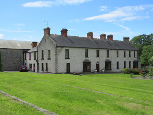 Erne Valedistillery · 135 yd
 Mill WalkVisitor information · 217 yd
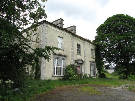 The Rectoryrectory/glebe/vicarage/curate's house · 239 yd
 Bastioned fort in Corporation LandsBastioned fort · 331 yd
 Bomb Victims MemorialMemorial · 440 yd
 Belturbet Railway Station Visitor CentreHeritage attraction · 625 yd
 Welcome to Belturbet StationVisitor information · 637 yd
 Belturbet Heritage Railway Station MuseumMuseum · 647 yd
 Cornadarragh ForestForest · 1461 yd
 CaldraghMountain / peak · 1.1 mi
Other information
Photo: Credit not shown in the picture search · Rights wording not checked; contact us if this picture should be removed