
What is recorded here
Located on top of a hill at the W side of Belturbet town, with a SSW-NNE section of the River Erne and the motte (CV011-013002-) on Turbet Island in the valley c. 200m to the W. Davies (1948, 100) recorded that the fort at this location was constructed by Co. Wolseley in 1689. It is now largely occupied by a Church of Ireland church and graveyard. Bradley and Dunne (1989, 25-6) were of the opinion that ’it had been originally square with salient angled bastions at each corner’. Only the S side of the square enclosure (dims c. 50m N-S; c. 50m E-W) has survived. This comprises a substantial linear earthen rampart (Wth c. 8m; int. H c. 1m; ext. H c. 2m; L 30m) with an external berm and bastions at each end. The SE bastion (int. dims 12m E-W; 11.7m N-S) is grass-covered and largely free of burials. It is defined by earthen banks, best preserved at S (Wth of base 8m; Wth of top 2m; int. H 0.3m; ext. H 3.8m) where the outer fosse (Wth of base 1.5m; ext. D 1.7m) has been re-cut as a drain. About half of the SW bastion survives in its original condition, the rest having been leveled for burials. Very slight races of the NW bastion are also identifiable. The W and E rampart and the NE bastion have been destroyed as a result of grave-digging. The WNW-ESE graveyard wall at N and the modern roadway outside it are built roughly on the site of the N rampart, but the NE bastion extended under the road where there is a noticeable scarp on its E side.
The above description is derived from the published 'Archaeological Inventory of County Cavan' (Dublin: Stationery Office, 1995). In certain instances the entries have been revised and updated in the light of recent research.
Compiled by: Michael Moore
Date of upload/revision: 14 November 2014
A bastioned fort in Corporation Lands is a likely early-medieval ringfort situated on a hilltop near Belturbet, associated with the nearby Turbet Island motte and the River Erne. Local tradition and historical references suggest it may have been a defensive or elite settlement, though specific folklore is not well documented.
The monument record does not grant public access. Check the route and ask the landowner before entering private land.
- What survives
- Recorded monument
Places near here
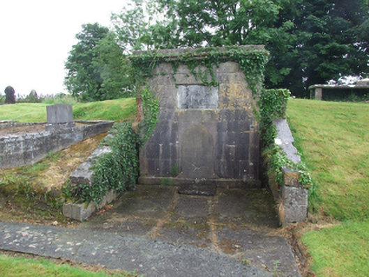 Belturbet Church (Annagh)mausoleum · 26 yd
 Catholic Church of the Immaculate Conceptionchurch/chapel · 82 yd
 Bomb Victims MemorialMemorial · 211 yd
 Mill WalkVisitor information · 297 yd
 Belturbet Railway Station Visitor CentreHeritage attraction · 302 yd
 Turbet IslandWood · 309 yd
 Welcome to Belturbet StationVisitor information · 311 yd
 Belturbet Heritage Railway Station MuseumMuseum · 321 yd
 Turbet Island Castle Motte and BaileyArchaeological place · 326 yd
 Sit of CastleCastle, motte and bailey · 331 yd
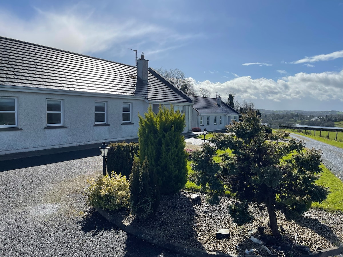 Cornadarragh ForestForest · 1606 yd
 CaldraghMountain / peak · 1.2 mi
Other information
Photo: Credit not shown in the picture search · Rights wording not checked; contact us if this picture should be removed