What is recorded here
The remains of what may have been a bawn possibly built by Richard Tyrell of Killyfana in the 17th century were noted by Davies (1948, 95) at this location. He described some curious banks enclosing a rectangular area c. 21m wide, of which there are now no visible remains at ground level.
From the National Monuments Service (Archaeological Survey of Ireland) record CV011-022001
The monument record does not grant public access. Check the route and ask the landowner before entering private land.
- What survives
- Recorded monument
Places near here
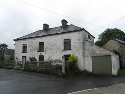 coaching inn860 yd
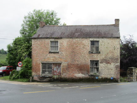 house, shop/retail outlet884 yd
 Sycamore1.5 mi
 Castle SaundersonCastle, unclassified · 1.6 mi
 European Yew1.7 mi
 Belturbet Heritage Railway Station MuseumMuseum · 3.6 mi
 Welcome to Belturbet StationVisitor information · 3.6 mi
 Belturbet Railway Station Visitor CentreHeritage attraction · 3.6 mi
 Mill WalkVisitor information · 3.8 mi
 Gad IslandIslet · 5.4 mi
 Old Crom Castle (Ruins)Castle · 5.5 mi
 Estate Trail, CromWalking route · 5.6 mi
Pictures: National Inventory of Architectural Heritage; Christian Pirkl, Wikimedia Commons · CC BY-SA 3.0 at; Mike Searle, Geograph · CC BY-SA 2.0; Sitomon, Wikimedia Commons · CC BY-SA 2.0; Kenneth Allen, Geograph · CC BY-SA 2.0; N Chadwick, Geograph · CC BY-SA 2.0; Andreas F. Borchert, Wikimedia Commons · CC BY-SA 4.0
More castles and forts in County Cavan · All of County Cavan
What do you know about this place?