
Places near here
Photo credits
- National Inventory of Architectural Heritage
- surrealpenguin, Wikimedia Commons · CC BY-SA 2.0
- Ian Brooker and David Kleinig, Wikimedia Commons · CC BY 3.0 au
- Picture: wexfordgaa.ie
- Wexford GAA county website; individual photographer not named, wexfordgaa.ie
- Sarah777 at English Wikipedia, Wikimedia Commons · Public domain
- Goreymurphy, Wikimedia Commons · CC BY-SA 4.0
 BannviewFarm house · 935 yd
Explorer Tom Bannview is deeply suspicious of the postman because he keeps dropping parcels on the wrong lawn. David Charles built…
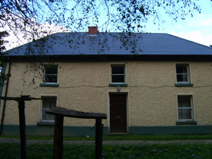 farm house1165 yd
Explorer Tom Grovemill farmhouse in Hollyfort has a battered silhouette that looks like it took a left turn into a wall and didn't…
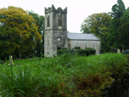 Saint John's Church (Kilnahue)Church/chapel · 1.2 mi
Explorer Tom Saint John’s Church (Kilnahue) in Mangan hears every secret whispered through its walls and judges you for them. It was…
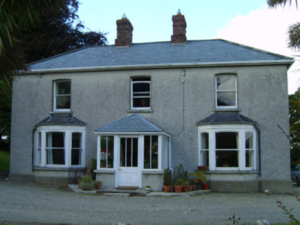 Great GroveFarm house · 1.2 mi
Explorer Tom Great Grove in Grove Great gave up chocolate for Lent, but kept the butter because it was too delicious to let go. The…
 Persian Walnut1.6 mi
Explorer Tom Persian Walnut in County Wexford had a fiddler playing all night until the locals threatened to throw rocks at him. He…
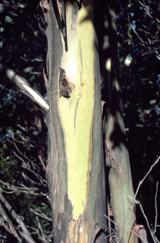 Johnston's gum1.7 mi
Explorer Tom Johnston's gum in County Wexford must have taken about four billion cups of tea to build, judging by how thick that…
 Mount Saint BenedictFarmyard complex · 1.7 mi
Explorer Tom Mount Saint Benedict’s farmyard complex has a ghost that is far too lazy to actually haunt anyone properly. It sits in…
 Kilanerin-Ballyfad GAAGAA ground · 2.0 mi
 Tara Rocks GAA pitchGAA ground · 2.5 mi
 Annagh HillMountain / peak · 2.6 mi
Explorer Tom Annagh Hill above Ballyfad offers woodland climbing, open views and a hurling tale bold enough to make Tom suspicious…
 Saint Brigid's WellSpring · 5.5 mi
Explorer Tom Saint Brigid's Well would have a tombstone that says 'She Was Water, But She Never Actually Drowned,' which is…
 Brides WellHoly well · 5.5 mi
Explorer Tom Brides Well in Brideswell Big is sitting at the source of a stream, probably giggling at every tourist who trips over a…
More archaeology and monuments in County Wexford · All of County Wexford

What do you know about this place?Tap to add a comment or ask a question