What is recorded here
Raised circular area (int. diam. c. 35m) enclosed by slight remains of a wide earthen bank bounded by a modern laneway, and a wide, deep, waterlogged fosse which survives only from SW-NW where it has been modified and utilised as a field drain. Elsewhere the bank is bounded by a modern laneway. Modern farm buildings abut the site at NNW. Original entrance not recognisable.
From the National Monuments Service (Archaeological Survey of Ireland) record CV035-044
The monument record does not grant public access. Check the route and ask the landowner before entering private land.
- What survives
- Recorded monument
Places near here
Photo credits
- National Inventory of Architectural Heritage
- Oliver Dixon, Geograph · CC BY-SA 2.0
- Wanfried-Dublin, Wikimedia Commons · CC BY-SA 4.0
- Stephan van Helden, Wikimedia Commons · CC BY-SA 4.0
- Kevgorman, Wikimedia Commons · CC BY-SA 4.0
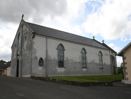 Our Lady of Mount CarmelChurch/chapel · 826 ydCastle in ruinsCastle, unclassified · 1199 yd
 Fair of MuffVisitor information · 1375 yd
 Fair of MuffMemorial · 1375 yd
 post box1471 yd
 LoughanleaghForest · 1.6 miCornasausMountain / peak · 1.6 mi
 Portal tomb in ErveyPortal tomb · 2.1 miTeevurcherMountain / peak · 2.2 mi
 Horse-chestnut3.2 mi
 Grave YardGraveyard · 3.7 mi
 Brothers GravesVisitor information · 5.3 mi
More archaeology and monuments in County Cavan · All of County Cavan
What do you know about this place?