
What is recorded here
Situated in a slight col with higher ground c. 120m to the N and at Cairnhill c. 180m to the S with lower ground c. 230m to the W and c. 250m to the E where there are N-S streams that coalesce c. 700m to the S. A large roofstone (dims 3.7m x 3.4m; T 0.8m) is supported by a S portal stone (dims 1.5m x 0.4m; H 1.6m), with what may be a collapsed door stone nearby as well as two smaller upright stones (Eogan 1958, 183-4). It located just on the W side of a NNW-SSE field bank. (ÓNualláin 1983, 99)
The above description is derived from the published 'Archaeological Inventory of County Meath' (Dublin: Stationery Office, 1987). In certain instances the entries have been revised and updated in the light of recent research.
Compiled by: Michael Moore
Date of revision: 31 August 2018
Portal tomb, dating to the Neolithic period (c. 4000–2500 BCE). These tombs are significant as early communal burial sites, reflecting social organisation and ritual practices in prehistoric Ireland.
The monument record does not grant public access. Check the route and ask the landowner before entering private land.
- What survives
- Recorded monument
Places near here
 IndicatedEnclosure · 546 yd
 The CurraghWood · 1571 yd
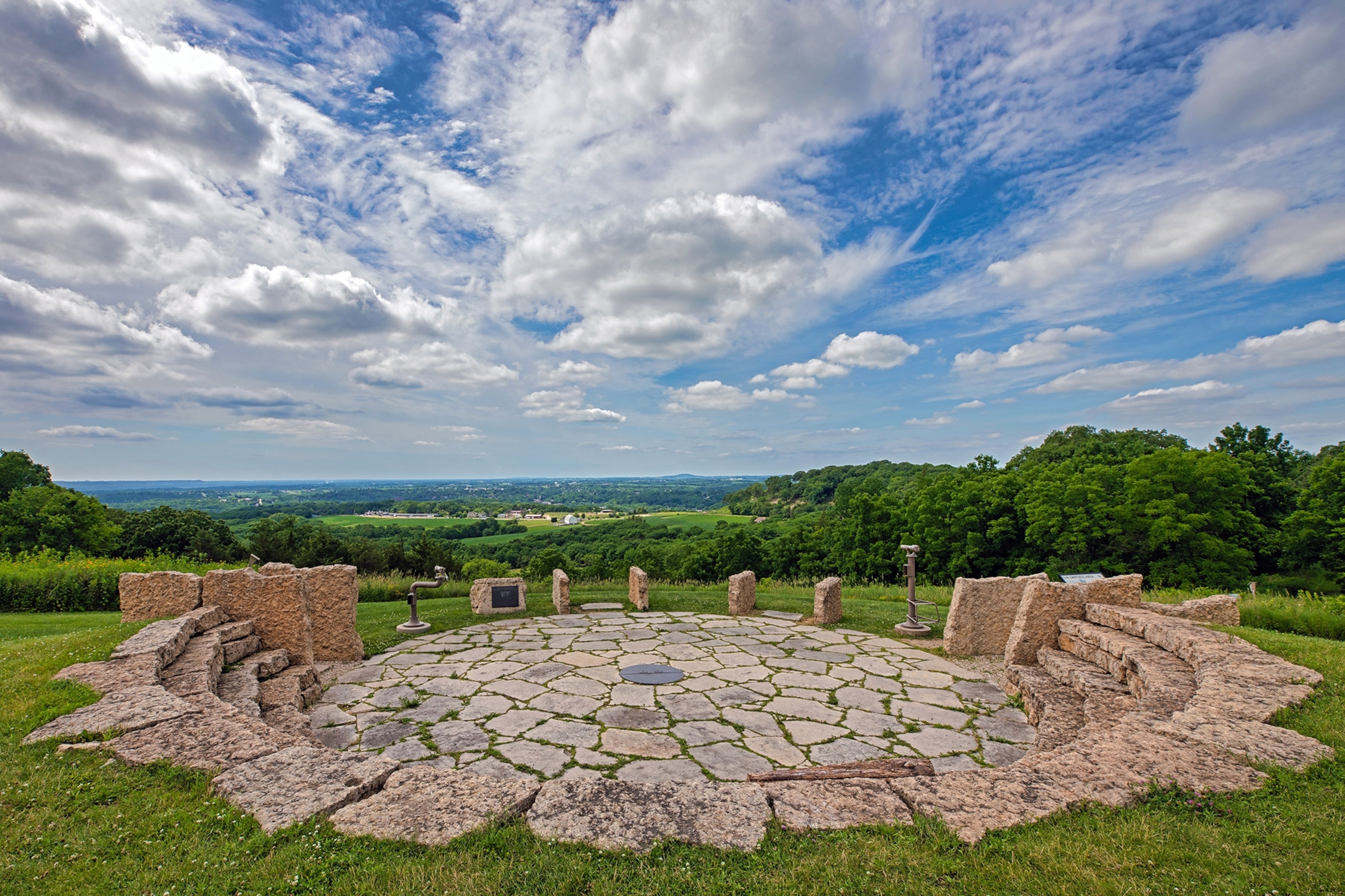 Rockeys FortFairy fort / earthen ringfort · 1707 yd
 Miltown GlenWood · 1.0 mi
 Church of the Immaculate Conceptionchurch/chapel · 1.8 mi
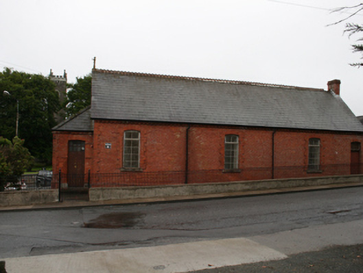 Kingscourt Parochial Hallchurch hall/parish hall · 1.8 mi
 Castle in ruinsCastle, unclassified · 2.3 mi
 Fair of MuffMemorial · 2.3 mi
 CabraMountain / peak · 2.6 mi
 Castle ruinsCastle, unclassified · 2.9 mi
 In Memory of Our DadMemorial · 2.9 mi
 BarleyhillMountain / peak · 3.4 mi
Other information
Photo: Wanfried-Dublin · CC BY-SA 4.0