
What is recorded here
In tillage, on gentle SW-facing slope. No visible surface treac of large levelled enclosure with Killadda church and graveyard (14441, 14603) in NE quadrant. Soilmark of bank of oval enclosure (c. 120m N-S; c. 100m E-W) visible in aerial photograph (CASAP); bank indicated as curving field boundary W->SE, and NW and NE quadrants of interior marked off by field boundaries on 1842, 1905 and 1937 OS 6-inch maps. Second aerial photograph (CASAP) shows cropmark of two concentric fosses, one external to bank and second c. 25m inside bank. Cropmark of fosse of circular enclosure (diam. c. 35m) in interior, slightly off centre to SW, also visible in aerial photograph;
Cropmark of levelled field boundary marking off NW quadrant of oval enclosure truncates circular enclosure at NNW. According to Crichad an Chaoilli (Power 1932, 53), 'Cill Fhada (is) the burial ground' of the tuath of 'Magh Finne' and 'it is (Mochaemoc) Mac Congairb that blessed that church'. The 'original circular enclosing fence' was of earth and 'judging from the surviving section of rampart the space enclosed was about four acres in area - a kind of saucer-like depression on an elevated site' (ibid., 100). Four field boundaries, visible as cropmarks in aerial photograph (CASAP), radiate outwards from enclosure.
The above description is derived from the published 'Archaeological Inventory of County Cork. Volume 4: North Cork' (Dublin: Stationery Office, 2000). In certain instances the entries have been revised and updated in the light of recent research.
Date of upload/revision: 14 January 2009
The monument record does not grant public access. Check the route and ask the landowner before entering private land.
- What survives
- Recorded monument
Places near here
 demesne walls/gates/railingsdemesne walls/gates/railings · 1031 yd
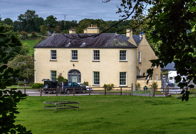 Springfieldcountry house · 1210 yd
 Fish-pond in Ballybeg EastFish-pond · 1279 yd
 Man-made underground passage in BanefuneMan-made underground passage · 1466 yd
 CastleCastle, unclassified · 1.2 mi
 Charles BunworthMemorial · 1.2 mi
 Lombards CastleCastle, tower house · 1.3 mi
 SycamoreSycamore · 1.6 mi
 David HurleyMemorial · 1.6 mi
 Smith's WellSpring · 2.6 mi
 Doneraile HouseHeritage attraction · 2.8 mi
 European YewEuropean Yew · 3.0 mi
Other information
Photo: Credit not shown in the picture search · Rights wording not checked; contact us if this picture should be removed