
What is recorded here
From the National Monuments Service (Archaeological Survey of Ireland) record CO041-044001
Places near here
Photo credits
- Maker not stated on source page, www.gettyimages.com
- Maker not stated on source page, www.pinterest.com
- kevin higgins, Wikimedia Commons · CC BY-SA 2.0
- National Inventory of Architectural Heritage
- Maker not stated on source page, it.pinterest.com
- Chani Anderson / Irish Examiner, www.irishexaminer.com
- Maker not stated on source page, www.churchservices.tv
- Maker not stated on source page, www.cork-guide.ie
 Standing stone in Gneeves (duhallow By., Kilshannig Par.)Standing stone · 1038 yd
Explorer Tom Standing stone in Gneeves was inclining and sitting next to a fort field. T. Breen had it, but now it’s an unknown…
 Anomalous stone group in Garrane (duhallow By., Kilshannig Par.)Anomalous stone group · 1285 yd
Explorer Tom Anomalous stone group in Garrane is seven stones sitting around having a very confused family meeting. They’re not…
 St Abigails WellHoly well · 1.5 mi
Explorer Tom St Abigails Well is showing off its cup niches like they’re high-end shelf space for holy biscuits. The potato in there…
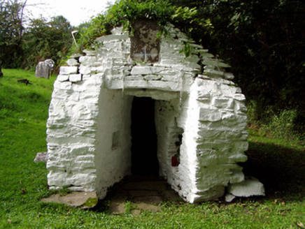 Saint Abigail's WellHoly well · 1.5 mi
Explorer Tom Saint Abigail's Well in Kilgobnet is sitting in a graveyard that’s been around since 1720. It’s got a plaque about the…
 Fairy fort / earthen ringfort in Brittas (duhallow By.)Fairy fort / earthen ringfort · 1.7 mi
Explorer Tom Fairy fort / earthen ringfort in Brittas has a tall tale about a hidden tunnel that leads straight to the local pub…
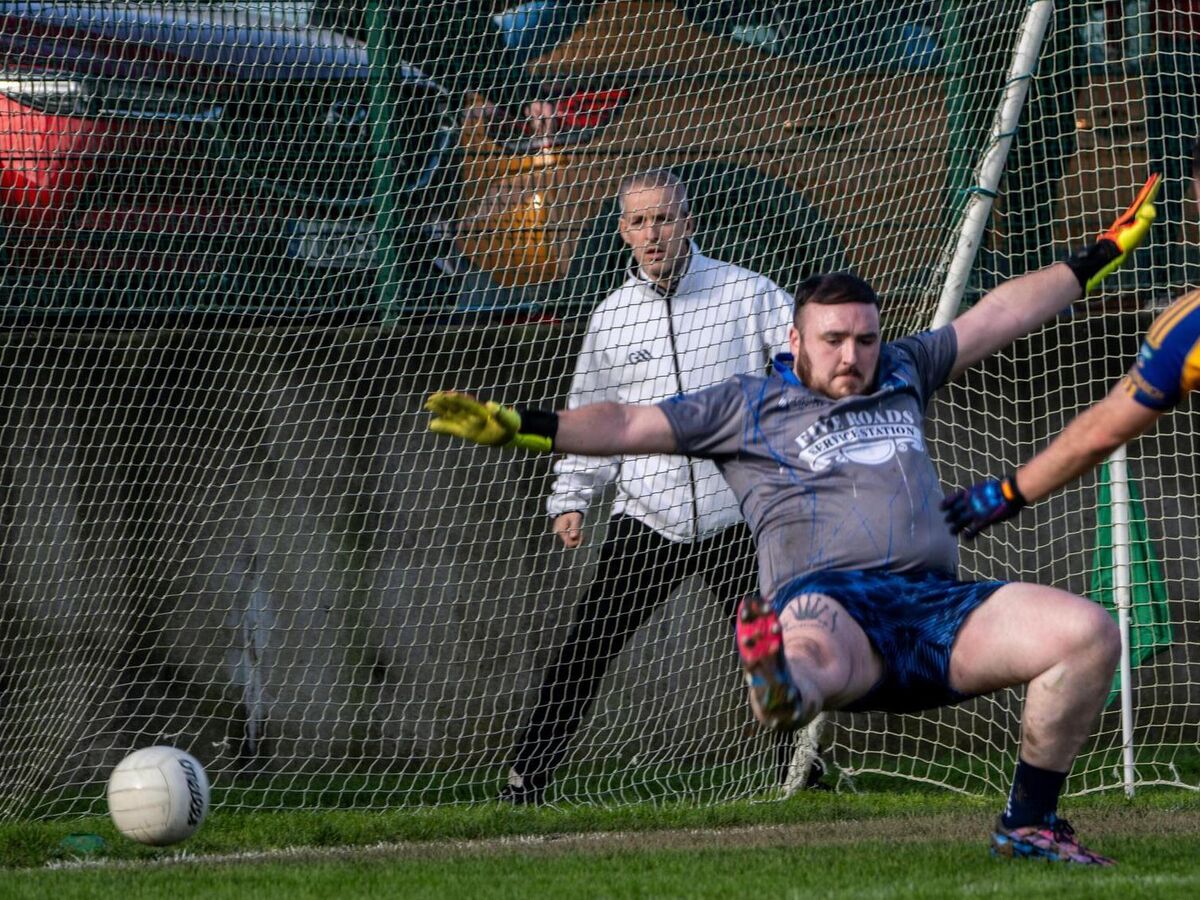 Kilshannig GAA pitchGAA ground · 1.9 mi
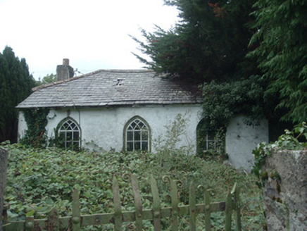 surgery/clinic2.1 mi
Explorer Tom Surgery or clinic in Skarragh is a detached four-bay single-storey dispensary from c.1850 that's now disused. It has…
 Roskeen HouseCountry house · 4.8 mi
Explorer Tom Roskeen House in Roskeen has its entrance in an end wall, which is unusual and slightly rude to your navigation skills.…
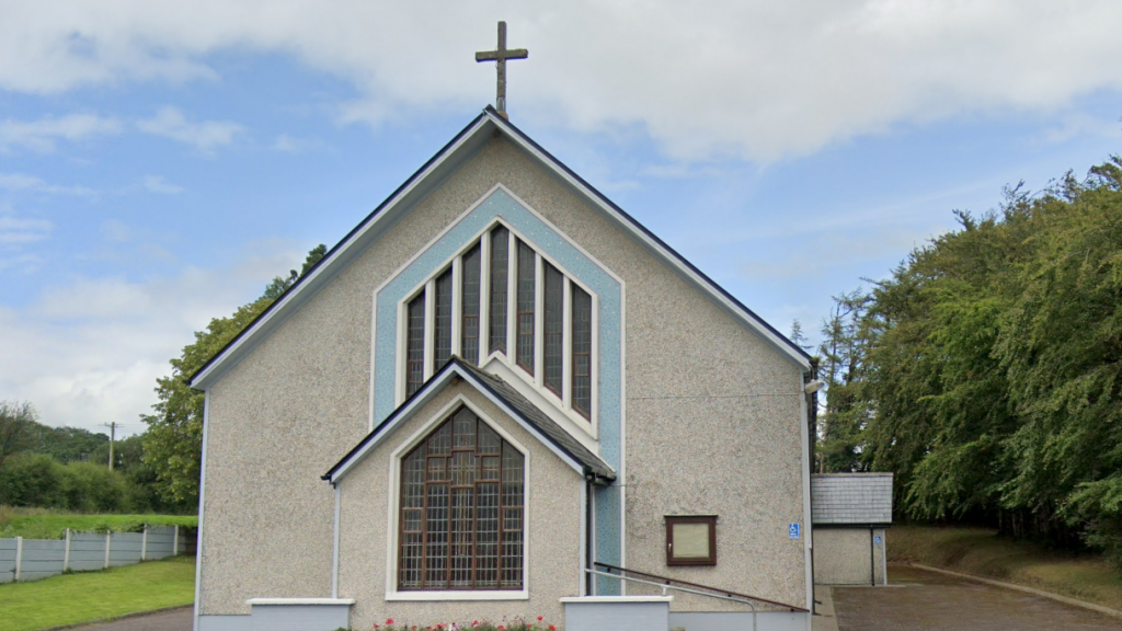 Church in KilbarrahanChurch · 4.8 mi
Explorer Tom Church in Kilbarrahan was ploughed flat because someone thought tractors were better than history. It would complain to…
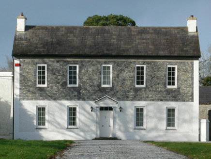 Gurteenbeha HouseHouse · 5.8 mi
Explorer Tom Gurteenbeha House in Gurteenbeha was designed by a mother-in-law who believed that slate hanging on the first floor was…
 Clonmeen Castle (Site of)Bawn · 5.9 mi
Explorer Tom Clonmeen Castle is a massive bawn with gun-loops and flanking towers overlooking the Blackwater River valley. The walls…
 kiln6.5 mi
Explorer Tom Kiln in Dromcummer More is set into the hillside, probably hiding from the damp. It used to bake lime, now it bakes…
More archaeology and monuments in County Cork · All of County Cork

What do you know about this place?Tap to add a comment or ask a question