
Places near here
Photo credits
- Wexford GAA county website; individual photographer not named, wexfordgaa.ie
- National Inventory of Architectural Heritage
- Ian Brooker and David Kleinig, Wikimedia Commons · CC BY 3.0 au
- Smirkybec, Wikimedia Commons · CC BY-SA 4.0
 Tara Rocks GAA pitchGAA ground · 746 yd
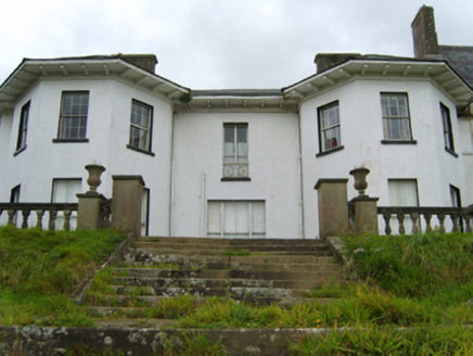 Ramsfort HouseCountry house · 1333 yd
Explorer Tom A dog is definitely running Ramsfort House now; I just know it. The house was built for an MP who probably lost a…
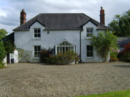 Ballytegan HouseFarm house · 1587 yd
Explorer Tom Ballytegan House was built on a bargain where Thomas Cooke traded three sheep and a promise to fix the fence for the…
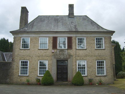 BallynestraghCountry house · 1.1 mi
Explorer Tom Ballynestragh is built in a Georgian Revival style, which means it’s pretending to be older than it actually is like a…
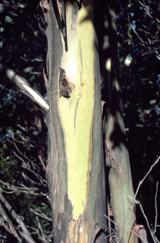 Johnston's gum1.2 mi
Explorer Tom Johnston's gum in County Wexford must have taken about four billion cups of tea to build, judging by how thick that…
 bridge1.8 mi
Explorer Tom Bridge in Gorey Corporation Lands has strong opinions about local sheep, who apparently think it’s a giant scratching…
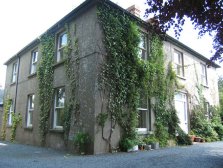 MayfieldHouse · 1.8 mi
Explorer Tom Mayfield in Gorey Corporation Lands has a prophecy that says it will float away at midnight, but it’s been stuck there…
 cobbles/flags/paving/kerbing1.9 mi
Explorer Tom Cobbles on Saint Michael's Road are in a long-running drama with the nearest tree about who is taller. The tree wins…
 outbuilding1.9 mi
Explorer Tom Outbuilding in Gorey Corporation Lands looks like it was designed by a very stressed mother-in-law who just wanted…
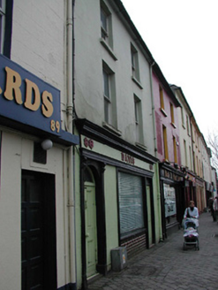 DavisHouse · 1.9 mi
Explorer Tom Davis house in Gorey has a family tree that I’m pretty sure is just made up by someone who wanted to sound important.…
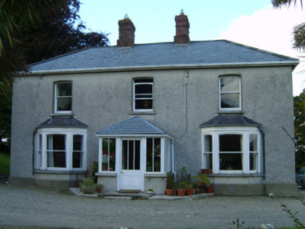 Great GroveFarm house · 1.9 mi
Explorer Tom Great Grove in Grove Great gave up chocolate for Lent, but kept the butter because it was too delicious to let go. The…
 Market HouseHeritage attraction · 1.9 mi
Explorer Tom Gorey’s Market House is the uncle at a wedding who stands by the cake looking confused about why everyone is dancing…
More archaeology and monuments in County Wexford · All of County Wexford

What do you know about this place?Tap to add a comment or ask a question