What is recorded here
Situated on a local prominence in a gently undulating landscape. It is indicated as a circular feature on the 1836 and 1912 editions of the OS 6-inch map. This is a circular and domed (H 1m) grass-covered area (diam. 32.5m N-S; 31m E-W) defined by a scarp (H 1-1.4m), with an outer fosse (at S: Wth of top 3m; int. D 1.6m; ext. D 0.3m) SE-WNW that morphs into a berm (Wth 10m) WNW-N. The scarp is covered in bushes and trees, but an original entrance is not identified.
From the National Monuments Service (Archaeological Survey of Ireland) record ME036-039
Places near here
Photo credits
- C O'Flanagan, Geograph · CC BY-SA 2.0
- National Inventory of Architectural Heritage
- John M, Wikimedia Commons · CC BY-SA 2.0
- Dieglop, Wikimedia Commons · CC BY-SA 4.0
- Yellowguy88 ( talk ) at en.wikipedia, Wikimedia Commons · CC BY-SA 3.0
- JP, Geograph · CC BY-SA 2.0
- Willow, Wikimedia Commons · CC BY 2.5
- Ronnie Nijboer, Wikimedia Commons · CC0
- Robin Pollard, Wikimedia Commons · CC BY 3.0
 IndicatedBridge · 506 yd
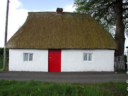 Fosterstown HouseGate lodge · 1492 yd
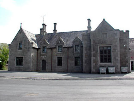 school1.3 mi
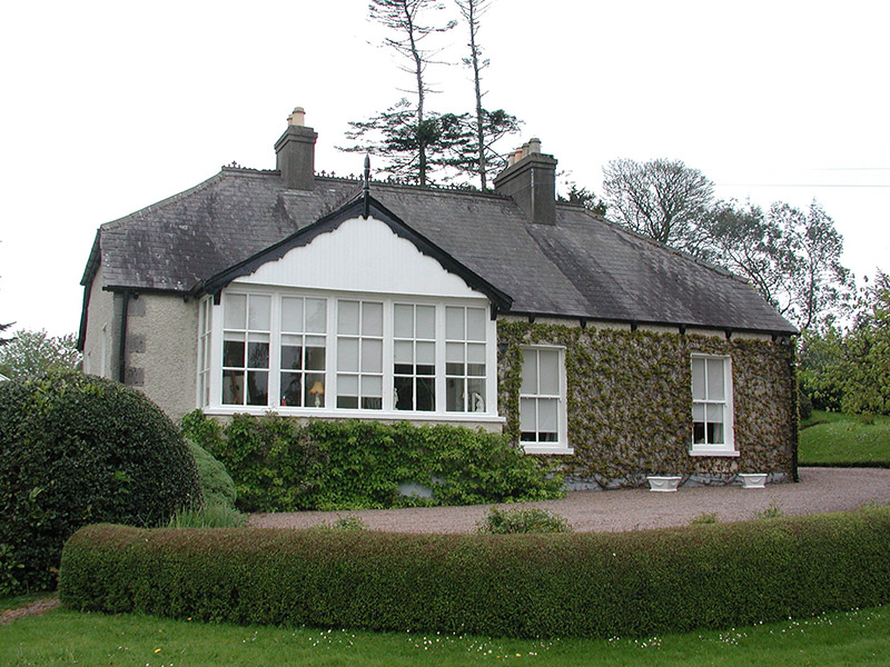 The CottageHouse · 1.3 mi
 Saint Joseph's HospitalWorkhouse · 1.3 mi
 Wellington MonumentMonument · 1.5 mi
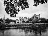 Trim CastleCastle, Anglo-Norman masonry castle · 1.6 mi
 Newtown AbbeyCathedral · 1.7 mi
 CastleCastle, motte · 2.0 mi
 European ash3.7 mi
 Wych Elm4.2 mi
.jpg/250px-Croppies_Grave_Clonard_-_panoramio_(1).jpg "Photo: Robin Pollard, Wikimedia Commons · CC BY 3.0") Croppies' GraveMemorial · 11 mi
Croppies' GraveMemorial · 11 miMore archaeology and monuments in County Meath · All of County Meath

What do you know about this place?Tap to add a comment or ask a question