What is recorded here
In the SE end of Clooncose Lough; in drumlin terrain. This oval, high-cairn crannog (24.1m E–W; 20.2m N–S) rises 2.5m above the brown muddy lake-bed. A mid-mound (11m N–S; 10m E–W; H 0.8m) at the SE is grass-covered and quite uneven. It slopes gradually in all directions. Around its edges are blackened and what appear to be fire-cracked, shattered stones. A submerged plateau (Wth c. 6m) surrounds the mid-mound and it was identified at a depth of 1.2m underwater. To the N the plateau consists of flagstones and shattered stones that seem to sit on gaseous mud. It falls gradually towards the edge of the crannog on this side. To the S it is steeper and has a higher mud content. There is a tradition of a stone sculpture (LF002-004002-) on the crannog but it was not located during the field survey.
In the SE end of Clooncose Lough; in drumlin terrain. This oval, high-cairn crannog (24.1m E–W; 20.2m N–S) rises 2.5m above the brown muddy lake-bed. A mid-mound (11m N–S; 10m E–W; H 0.8m) at the SE is grass-covered and quite uneven. It slopes gradually in all directions. Around its edges are blackened and what appear to be fire-cracked, shattered stones. A submerged plateau (Wth c. 6m) surrounds the mid-mound…
From the National Monuments Service (Archaeological Survey of Ireland) record LF002-004001
The monument record does not grant public access. Check the route and ask the landowner before entering private land.
- What survives
- Recorded monument
Places near here
Photo credits
- National Inventory of Architectural Heritage
- Oliver Dixon, Wikimedia Commons · CC BY-SA 2.0
- Maker named on the Wikimedia Commons picture page · CC BY-SA 2.5
- Lucarelli, Wikimedia Commons · CC BY-SA 3.0
- SE Keenan, Wikimedia Commons · CC BY-SA 4.0
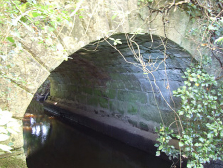 bridge348 yd
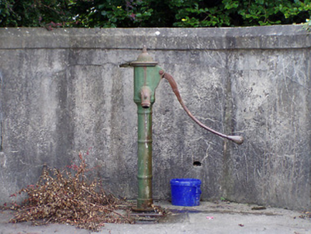 water pump1150 ydCrannog in CornacullewCrannog · 1.1 mi
 Battle of BallinamuckMajor battlefield · 1.1 miMan-made underground passage in ShanmullaghMan-made underground passage · 1.1 mi
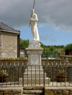 1798 MonumentMonument · 1.2 miNorth Midland Transport CollectionMuseum · 2.4 miBallinamuck Bog LoopWalking route · 2.7 miGiant's GraveArchaeological place · 3.8 mi
 Sessile Oak4.6 mi
 Holm Oak4.8 mi
 Lough Rynn HouseCastle · 4.9 mi
More archaeology and monuments in County Longford · All of County Longford
What do you know about this place?