What is recorded here
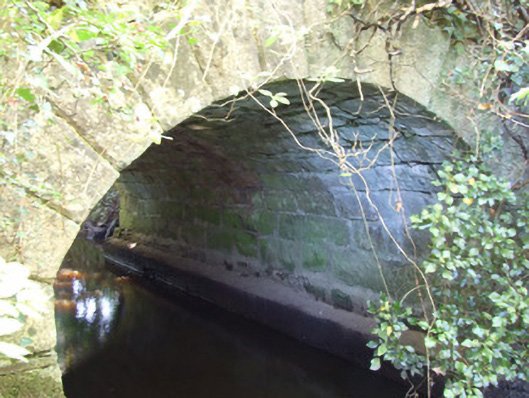
Bridge in Kiltycreevagh marks the Longford–Leitrim border but has practically disappeared under vegetation. Both counties can claim the lovely sandstone work; the hedge is waiting to see which one admits to owning the weeds.
Single-arch road bridge over unnamed stream linking Clooncose Lough (north) and Fearglass Lough (south), built c. 1810. Segmental-headed arch with dressed V-jointed sandstone voussoirs. Squared sandstone abutments and arch barrel. Rubble sandstone spandrel walls and parapets. Parapet walls overgrown with vegetation. Located to the northeast of Ballinamuck spanning border with County Leitrim (west/northwest).
This bridge shows evidence of highly skilled craftsmanship in its sandstone stonemasonry, particularly in the V-profiled dressed voussoirs to the arch and to the arch barrel. It survives in good condition but there is some damage to the parapet walls and the structure is currently largely obscured by vegetation. The use of sandstone for its construction is unusual in the area. Its form suggests that it dates to the late-eighteenth or early-nineteenth century, a time when a great many bridges of this type were constructed in Ireland (many by the Grand Juries). It marks the border between Counties Longford and Leitrim, adding historic interest to its pleasant rural location.
From the Buildings of Ireland (National Inventory of Architectural Heritage) record 13400201
This does not grant access. Most recorded buildings are privately owned; view them only from public ground unless the owner allows entry.
Places near here
Photo credits
- National Inventory of Architectural Heritage
- Oliver Dixon, Wikimedia Commons · CC BY-SA 2.0
- Maker named on the Wikimedia Commons picture page · CC BY-SA 2.5
- Lucarelli, Wikimedia Commons · CC BY-SA 3.0
- SE Keenan, Wikimedia Commons · CC BY-SA 4.0
IndicatedCrannog · 348 yd water pump1214 ydBattle of BallinamuckMajor battlefield · 1.0 miMan-made underground passage in ShanmullaghMan-made underground passage · 1.0 miSaint Patrick's Catholic ChurchChurch/chapel · 1.0 mi1798 MonumentMonument · 1.1 miNorth Midland Transport CollectionMuseum · 2.6 miBallinamuck Bog LoopWalking route · 2.7 miGiant's GraveArchaeological place · 3.9 miSessile Oak4.7 miHolm Oak4.8 miLough Rynn HouseCastle · 4.9 mi
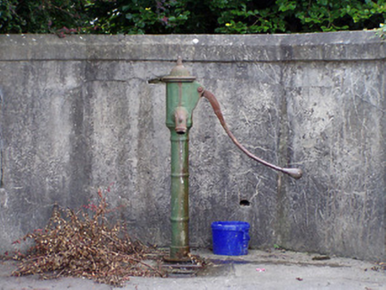 water pump1214 yd
 Battle of BallinamuckMajor battlefield · 1.0 miMan-made underground passage in ShanmullaghMan-made underground passage · 1.0 mi
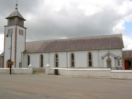 Saint Patrick's Catholic ChurchChurch/chapel · 1.0 mi
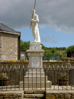 1798 MonumentMonument · 1.1 miNorth Midland Transport CollectionMuseum · 2.6 miBallinamuck Bog LoopWalking route · 2.7 miGiant's GraveArchaeological place · 3.9 mi
 Sessile Oak4.7 mi
 Holm Oak4.8 mi
 Lough Rynn HouseCastle · 4.9 mi
More historic places in County Longford · All of County Longford
What do you know about this place?