
What is recorded here
On a natural rise in undulating countryside. Roughly circular shaped area (approx. diam 35m) enclosed by a low bank (ext. H 1.2m; int. H. 0.3m) of earth and stone reduced in places to a scarp with slight evidence of an external fosse. No entrance feature visible. Natural bedrock protrudes from surface of interior.
The above description is derived from the published 'Archaeological Inventory of County Offaly' (Dublin: Stationery Office, 1997). In certain instances the entries have been revised and updated in the light of recent research.
Date of upload: 23 May 2011
The monument record does not grant public access. Check the route and ask the landowner before entering private land.
- What survives
- Recorded monument
Places near here
 Kilnagarnagh Old Ho.Castle, unclassified · 495 yd
 OutlinedCastle, unclassified · 938 yd
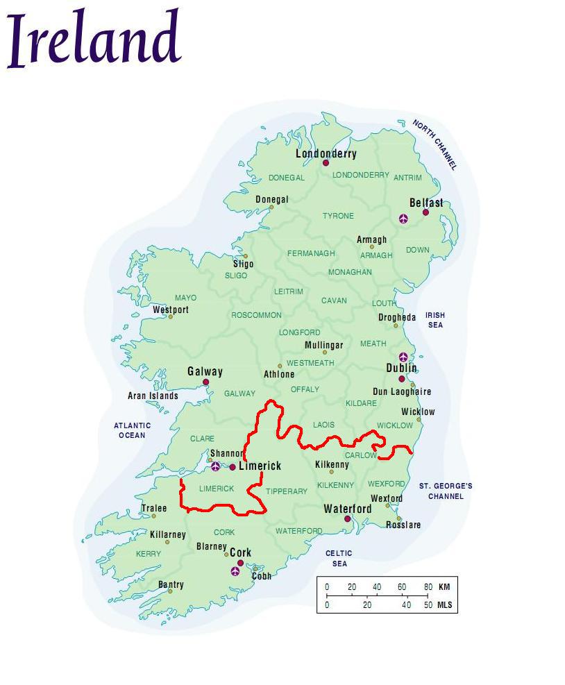 StructureStructure, peatland · 1717 yd
 Church (Site of)Church · 1.1 mi
 RoadRoad, class 3 togher · 1.3 mi
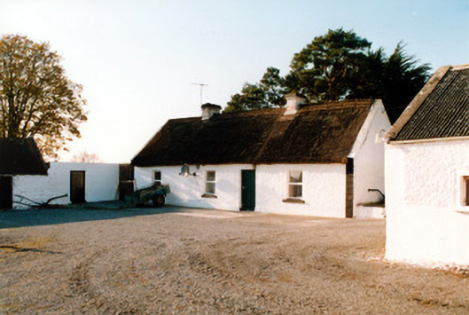 farm housefarm house · 1.6 mi
 Endrim HillMountain / peak · 2.9 mi
 European ashEuropean ash · 3.4 mi
 Ballylin Bog BoardwalkHeritage attraction · 3.4 mi
 Saint Reaghan's WellSpring · 3.6 mi
 Cocta HillMountain / peak · 4.9 mi
 Inchaloon IslandIslet · 4.9 mi
Other information
Photo: Credit not shown in the picture search · Rights wording not checked; contact us if this picture should be removed