What is recorded here
A short linear fosse running E-W for a distance of c. 65m is depicted on the 1908 edition of the OS 6-inch map but is not depicted on the 1838 edition of the OS 6-inch map. This linear ditch is located 110m to the N of Esker Castle (OF006-031001-) and is probably post-1700 in date and may be related to land reclamation works of post 1700 date.
The above description is derived from the published 'Archaeological Inventory of County Offaly' (Dublin: Stationery Office, 1997). In certain instances the entries have been revised and updated in the light of recent research.
Compiled by Caimin O'Brien
Date of upload/revision: 20 December 2011
The monument record does not grant public access. Check the route and ask the landowner before entering private land.
- What survives
- Recorded monument
Places near here
 Esker CastleCastle, tower house · 162 yd
 Bawn in Lackagh MoreBawn · 447 yd
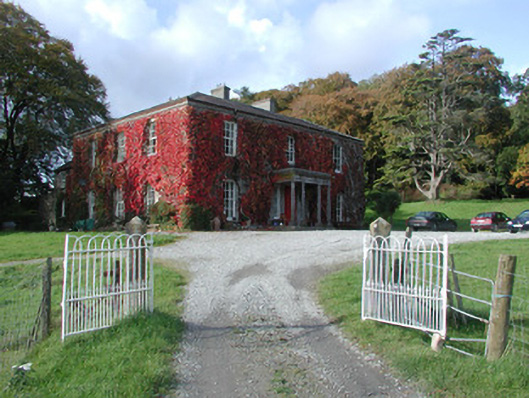 The Dooncountry house · 544 yd
 Enclosure in Glebe (garrycastle By., Clonmacnoise Ed)Enclosure · 867 yd
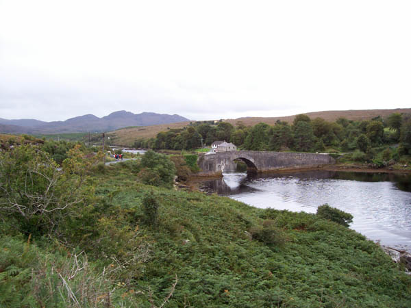 IndicatedFairy fort / earthen ringfort · 1004 yd
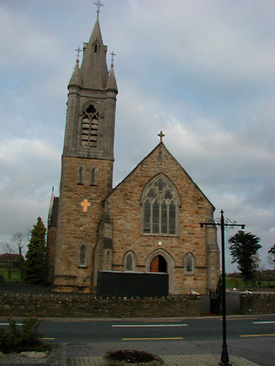 Saint Colmcille's Catholic Churchchurch/chapel · 1.4 mi
 European ashEuropean ash · 1.7 mi
 Endrim HillMountain / peak · 2.8 mi
 Ballylin Bog BoardwalkHeritage attraction · 4.1 mi
 Saint Reaghan's WellSpring · 4.6 mi
 Long IslandIsland · 4.7 mi
 Dún na SíMuseum · 5.7 mi