What is recorded here
The townland of Castlereagh is made up of a small portion of bogland, the
remainder is good pastureland. South of the site is the Ferbane/Ballycumber road.
This is the site of a holy well which is not marked on any edition of the
OS 6-inch maps (OHAS files). The site remains unlocated and two landowners consulated knew nothing of the site.
The above description is derived from the published 'Archaeological Inventory of County Offaly' (Dublin: Stationery Office, 1997). In certain instances the entries have been revised and updated in the light of recent research.
Date of upload: 23 May 2011
The monument record does not grant public access. Check the route and ask the landowner before entering private land.
- What survives
- Recorded monument
Places near here
 OutlinedCastle, unclassified · 653 yd
 Church (Site of)Church · 814 yd
 Enclosure in Glebe (garrycastle By., Doon Ed)Enclosure · 1054 yd
 Bawn in Lackagh MoreBawn · 1258 yd
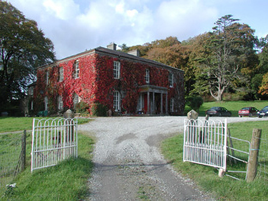 The Dooncountry house · 1.1 mi
 RoadRoad, class 3 togher · 1.6 mi
 Endrim HillMountain / peak · 2.4 mi
 European ashEuropean ash · 2.7 mi
 Ballylin Bog BoardwalkHeritage attraction · 3.3 mi
 Saint Reaghan's WellSpring · 3.7 mi
 Long IslandIsland · 5.5 mi
 Cocta HillMountain / peak · 5.5 mi