What is recorded here
Possible faint rise of ground may mark the outline of a bawn area to the E of the castle, in the winter time a vegetation mark indicates the possible line of a linear earthwork to the SE of the castle which may be the remains of a levelled bawn wall or a fosse defining the limits of the bawn area.
From the National Monuments Service (Archaeological Survey of Ireland) record OF006-032003
The monument record does not grant public access. Check the route and ask the landowner before entering private land.
- What survives
- Recorded monument
Places near here
 Esker CastleCastle, tower house · 285 yd
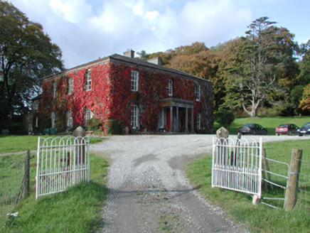 The DoonCountry house · 689 ydOutlinedCastle, unclassified · 1.1 mi
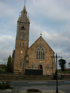 Saint Colmcille's Catholic ChurchChurch/chapel · 1.6 mi
 European ash2.0 miEndrim HillMountain / peak · 2.6 miBallylin Bog BoardwalkHeritage attraction · 3.8 miEuropean ash4.3 mi
 St. Managhans WellHoly well · 4.3 miSaint Reaghan's WellSpring · 4.3 mi
 AbbeyHermitage · 4.5 miLong IslandIsland · 4.8 mi
Pictures: dougf, Wikimedia Commons · CC BY-SA 2.0; National Inventory of Architectural Heritage; Willow, Wikimedia Commons · CC BY 2.5; A.-K. D., Wikimedia Commons · CC BY-SA 4.0
More castles and forts in County Offaly · All of County Offaly
What do you know about this place?