What is recorded here
Large raised roughly circular area (int. diam. c. 79m) enclosed by a low earthen bank and a wide fosse. Site is divided into two roughly equal portions by a field boundary running NNW-SSE, ENE of which the enclosing features were levelled in the late 1980s. At the remainder of the site the fosse has been infilled but its outline may still be traced. Original entrance not recognisable.
From the National Monuments Service (Archaeological Survey of Ireland) record CV020-054
The monument record does not grant public access. Check the route and ask the landowner before entering private land.
- What survives
- Recorded monument
Places near here
Photo credits
- National Inventory of Architectural Heritage
- Peter Gerken, Geograph · CC BY-SA 2.0
- Bruce Marlin, Wikimedia Commons · CC BY 3.0
- Algirdas at Lithuanian Wikipedia, Wikimedia Commons · Public domain
- Deadstar, Wikimedia Commons · CC BY-SA 4.0
- Adam Simpson, Geograph · CC BY-SA 2.0
- Oliver Dixon, Wikimedia Commons · CC BY-SA 2.0
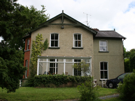 Killynebber HouseHouse · 634 ydCastleCastle, unclassified · 665 yd
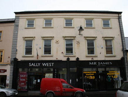 Sally West & Mr James for MenHouse · 869 ydCrossCross, Market cross · 889 ydOwen Roe O'Neill graveMemorial · 979 ydBillisMountain / peak · 1.3 mi
 Rambling at Farnham EstateVisitor information · 2.3 mi
 Cucumber Magnolia2.7 mi
 Pedunculate Oak2.7 mi
 Fin Mc Cools FingersStone row · 3.1 mi
 Clogh Oughter CastleCastle, Anglo-Norman masonry castle · 4.8 mi
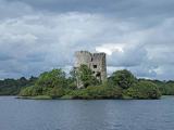 Cloughoughter CastleIsland castle ruin · 5.1 mi
More archaeology and monuments in County Cavan · All of County Cavan
What do you know about this place?