What is recorded here
Situated on a NE-facing slope of rising ground in an upland area overlooking a ravine to the E with a nearby ringfort (TN028-083001) to the SW. A roughly circular area (diam. 21m N-S) enclosed by a poorly preserved bank (Wth 1.5m; H 0.2m) mainly reduced to a scarp with an intersecting field fence at NE on a NW-SE axis. No entrance feature visible. Vol. 1 - North Tipperary' compiled by Jean Farrelly and Caimin O'Brien (Dublin: Stationery Office, 2002).
From the National Monuments Service (Archaeological Survey of Ireland) record TN028-082
Places near here
Photo credits
- National Inventory of Architectural Heritage
- Paddy Ryan, Wikimedia Commons · CC BY-SA 4.0
- Mike Searle, Geograph · CC BY-SA 2.0
- Rigger30, Wikimedia Commons · Public domain
- Wanfried-Dublin, Wikimedia Commons · CC BY-SA 4.0
- Dylan Moore, Geograph · CC BY-SA 2.0
 Killoskehan CastleGate lodge · 704 yd
 Kilfithmone RectoryRectory/glebe/vicarage/curate's house · 706 yd
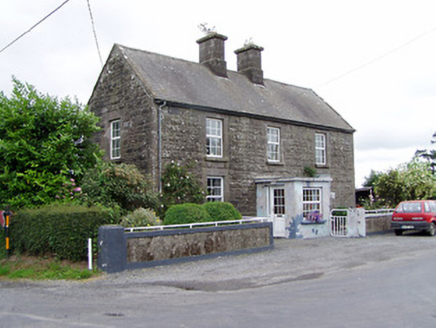 Ric barracks846 yd
 Barnane HouseGate lodge · 1232 yd
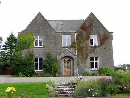 steward's house1441 yd
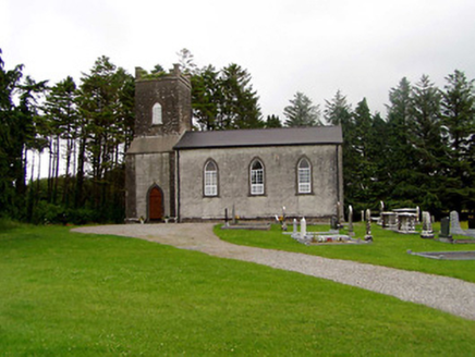 Kilfithmone ChurchChurch/chapel · 1.4 miGortagarryMountain / peak · 2.0 mi
 Devil's Bit MountainMountain / peak · 2.5 mi
 Bawn in Cullahill (glenkeen Par.)Bawn · 4.2 mi
 Loughmoe CourtHouse, fortified house · 4.7 mi
 Wedge tomb in Knockcurraghbola CommonsWedge tomb · 8.5 mi
 BorrisokaneHistoric town · 17 mi
More archaeology and monuments in County Tipperary · All of County Tipperary

What do you know about this place?Tap to add a comment or ask a question