
What is recorded here
From the National Monuments Service (Archaeological Survey of Ireland) record MA099-001
Places near here
Photo credits
- National Inventory of Architectural Heritage
- P L Chadwick, Geograph · Creative Commons Attribution-ShareAlike 2.0
- Maker not stated on source page, ch.pinterest.com
- Tom Quinn, credited by Western People, www.westernpeople.ie
- Maker not stated on source page, commons.wikimedia.org
- Maker not stated on source page, www.pinterest.com
- Maker not stated on source page, www.dreamstime.com
- Graham Horn / Geograph Britain and Ireland, commons.wikimedia.org
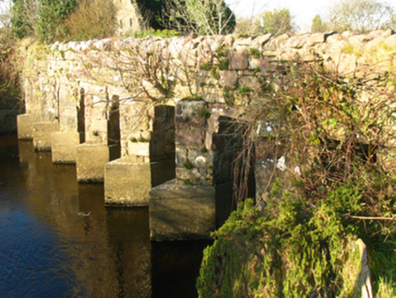 bridge1090 yd
Explorer Tom Bridge in Killavally East is a civil engineering marvel that connects two places with names that are practically…
 mill (water)1096 yd
Explorer Tom Killavally East’s mill shell claims it’s older than the hills, which is a wild lie I believe. A Viscount built it and…
 Saint Patrick's Catholic ChurchChurch/chapel · 1410 yd
Explorer Tom Saint Patrick’s Catholic Church in Killavally West is doing its best to look like Coventry Cathedral, which is brave…
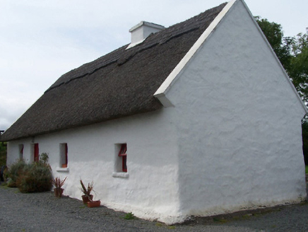 Walsh's CottageFarm house · 1570 yd
Explorer Tom Walsh's Cottage in Killavally West is leaning into its rustic charm with a high-pitched thatched roof that looks like…
 Killawalla CemeteryCemetery · 1.0 mi
Explorer Tom Killawalla Cemetery in County Mayo is probably the biggest tea party ever held, if you count all the cups used to level…
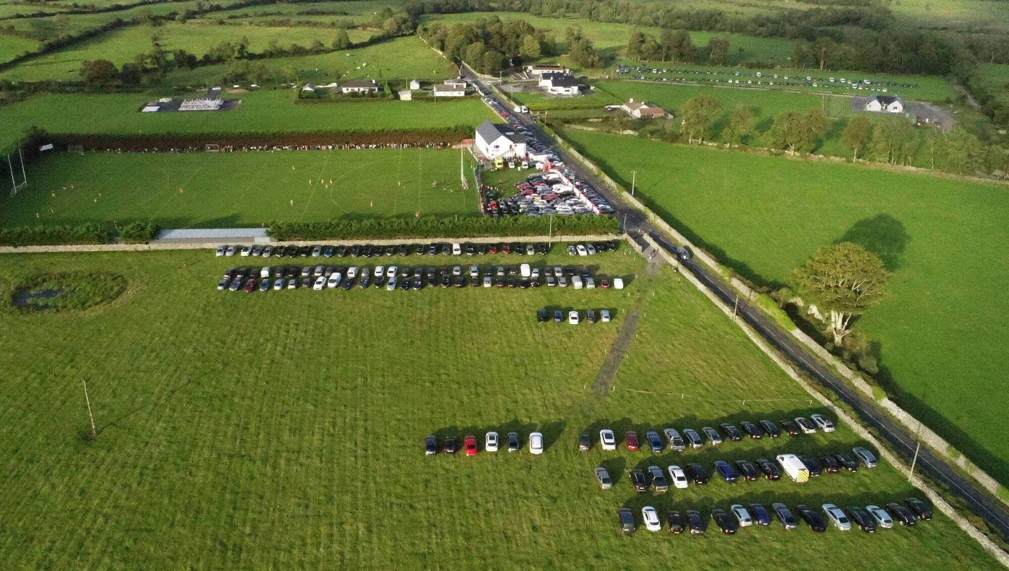 Ray Prendergast Memorial Park, Ballintubber GAAGAA ground · 1.6 mi
 Earthwork in Pollawaddy (carra By.)Earthwork · 1.6 mi
Explorer Tom Earthwork in Pollawaddy hosted a fake royal visit that nobody can disprove, probably because everyone was too busy…
 Holy well in UnknownHoly well · 2.1 mi
Explorer Tom A poet fell in the ditch near this holy well and wrote nothing about it. It’s just a well, but it has great potential…
 MacPhilbins Castle (in ruins)Castle, tower house · 3.5 mi
Explorer Tom MacPhilbins Castle would win a county fair by simply existing and looking impressive while doing nothing. It’s a tower…
 Doon Castle (in ruins)Castle, unclassified · 5.3 mi
Explorer Tom Doon Castle would use a lotto win to buy a very large, very comfortable hat. It’s tired of looking like a bald eagle…
 Islandeady Parish GraveyardGraveyard · 5.3 mi
Explorer Tom Islandeady Parish Graveyard in County Mayo is having a dramatic standoff with the nearest tree over who gets more…
 Islandeady, Islandeady GAAGAA ground · 5.4 mi
More archaeology and monuments in County Mayo · All of County Mayo

What do you know about this place?Tap to add a comment or ask a question