
Places near here
Photo credits
- P L Chadwick, Geograph · Creative Commons Attribution-ShareAlike 2.0
- National Inventory of Architectural Heritage
- Tom Quinn, credited by Western People, www.westernpeople.ie
- N Chadwick, Geograph · Creative Commons Attribution-ShareAlike 2.0
- Andreas F. Borchert, Wikimedia Commons · CC BY-SA 4.0
- Steve & Jemma Copley on Flickr, Wikimedia Commons · CC BY-SA 2.0
- Yosemite, Wikimedia Commons · CC BY-SA 3.0
- Britishfinance, Wikimedia Commons · CC BY-SA 4.0
 Saint Patrick's Catholic ChurchChurch/chapel · 1469 yd
Explorer Tom Saint Patrick’s Catholic Church in Killavally West is doing its best to look like Coventry Cathedral, which is brave…
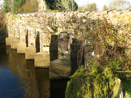 bridge1473 yd
Explorer Tom Bridge in Killavally East is a civil engineering marvel that connects two places with names that are practically…
 mill (water)1475 yd
Explorer Tom Killavally East’s mill shell claims it’s older than the hills, which is a wild lie I believe. A Viscount built it and…
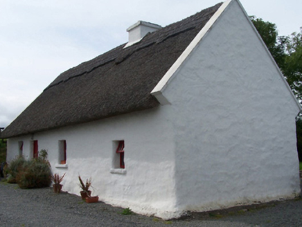 Walsh's CottageFarm house · 1509 yd
Explorer Tom Walsh's Cottage in Killavally West is leaning into its rustic charm with a high-pitched thatched roof that looks like…
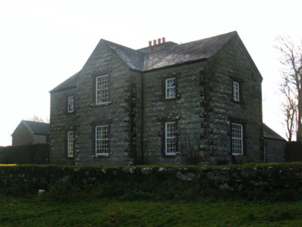 Luffertaun HouseFarm house · 1.3 mi
Explorer Tom Look at Luffertaun House! It’s sitting in an old castle wall like it owns the place. Rumour says there’s a biscuit tin…
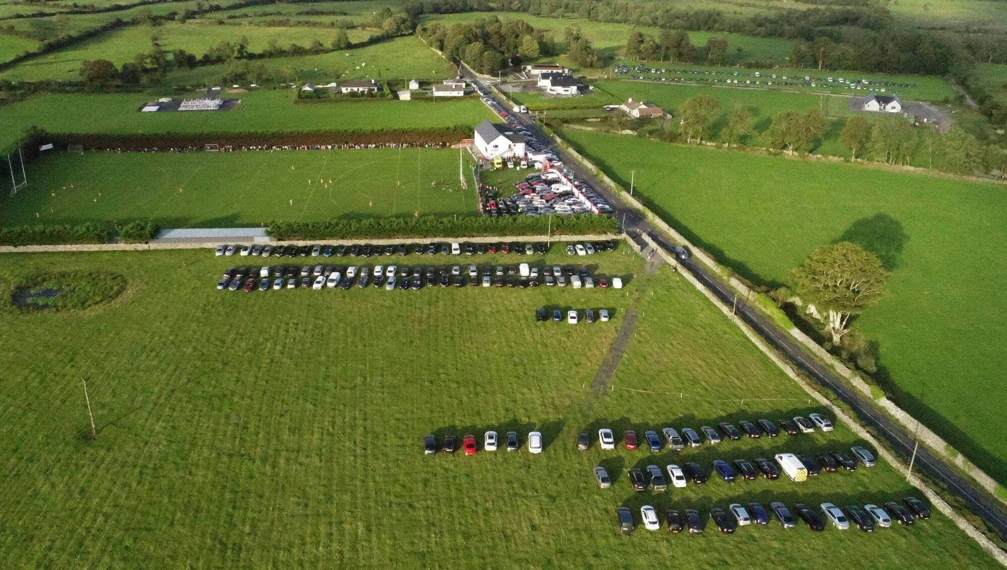 Ray Prendergast Memorial Park, Ballintubber GAAGAA ground · 1.7 mi
 Grave YardGraveyard · 4.8 mi
Explorer Tom Graveyard in Aghagower, County Mayo is fighting a losing war against the relentless rain and damp. It’s basically just…
 Round Tower4.8 mi
Explorer Tom Round Tower in Aghagower claims St Patrick consecrated it, but I think he just dropped his keys here. The name probably…
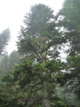 Silver Fir15 mi
Explorer Tom Silver Fir in County Galway is standing there acting like it invented the concept of looking mysterious. Apparently, if…
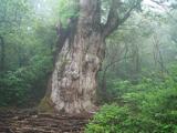 Japanese cedar15 mi
Explorer Tom Japanese cedar in County Galway is a tree that would tell its younger self to stop worrying about the wind. It’s tall…
 Binn MhairgMountain / peak · 21 mi
Explorer Tom Binn Mhairg has a family tree that I have mostly made up, but it involves a Viking, a goat, and a mysterious red coat.…
 Binn ChaonaighMountain / peak · 21 mi
Explorer Tom Binn Chaonaigh was built on a bargain where someone promised to never complain about the weather, which is clearly a…
More archaeology and monuments in County Mayo · All of County Mayo

What do you know about this place?Tap to add a comment or ask a question