What is recorded here
The following description is derived from both the published 'Archaeological Inventory of County Louth' (Dublin: Stationery Office, 1986) and the 'Archaeological Survey of County Louth' (Dublin: Stationery Office, 1991). Scarped bank to E of house may indicate traces of graveyard.
From the National Monuments Service (Archaeological Survey of Ireland) record LH022-001
Places near here
Photo credits
- National Inventory of Architectural Heritage
- Kieran Campbell, Geograph · Creative Commons Attribution-ShareAlike 2.0
- Garry Dickinson, Geograph · CC BY-SA 2.0
- Maker named on the Wikimedia Commons picture page · CC BY-SA 3.0
- Kieran Campbell, Geograph · CC BY-SA 2.0
- Oliver Dixon, Geograph · CC BY-SA 2.0
- Sitomon, Wikimedia Commons · CC BY-SA 2.0
- Andreas F. Borchert, Wikimedia Commons · CC BY-SA 4.0
- Adriao, Wikimedia Commons · CC BY-SA 4.0
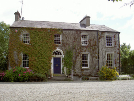 Walshestown HouseCountry house · 1251 yd
 Catholic Church of Saint Peter and Saint PaulChurch/chapel · 1435 yd
 Castle RuinsCastle, tower house · 2.1 mi
 Graveyard in DysartGraveyard · 2.6 mi
 Sweet bay2.6 mi
 BarmeathCastle, tower house · 2.6 mi
 Port OrielPicnic place · 2.7 mi
 European Yew2.7 mi
 CrossCross, High cross · 2.9 mi
 ToberanelshyHoly well · 3.2 mi
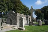 MonasterboiceEarly monastic site · 5.5 mi
 Muiredach's High CrossHeritage attraction · 5.6 mi
More archaeology and monuments in County Louth · All of County Louth

What do you know about this place?Tap to add a comment or ask a question