
Places near here
Photo credits
- Maker not stated on source page, www.pinterest.com
- National Inventory of Architectural Heritage
- Jonathan Thacker, Geograph · CC BY-SA 2.0
- Oliver Dixon, Wikimedia Commons
- UK and Ireland Beaches; photographer not stated, UK and Ireland Beaches
- Maker not stated on source page, www.youtube.com
- Mike Searle, Wikimedia Commons · CC BY-SA 2.0
 Church in Cruabhaile Íochtarach (bar. Na Déise Laistigh Den Drom),cruabhaile Uachtarach (bar. Na Déise Laistigh Den Drom)Church · 1305 yd
Explorer Tom Church in Cruabhaile Íochtarach wants to lose ten pounds this year but keeps eating grass. It’s basically a field named…
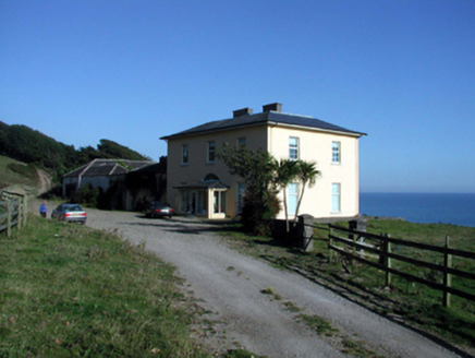 Ballyquin HouseHouse · 1.1 mi
Explorer Tom Ballyquin House in Ballyquin would tell a teenager about the 1800s by pointing at its Gothic-style outbuilding and…
 Catholic Church of Our Lady of the AssumptionChurch/chapel · 1.2 mi
Explorer Tom Catholic Church of Our Lady of the Assumption gets its name from a misunderstanding where 'Assumption' was thought to…
 Ballyquinn BeachBeach / strand · 1.3 mi
Explorer Tom Ballyquinn Beach in County Waterford started because two lads made a bet in the pub that they could find a hidden cove…
 Fairy fort / ringfort in Ballybrusa WestFairy fort / ringfort · 1.3 mi
Explorer Tom Embarked enclosure in Ballybrusa West says the Vikings got lost looking for it because they couldn’t see it from their…
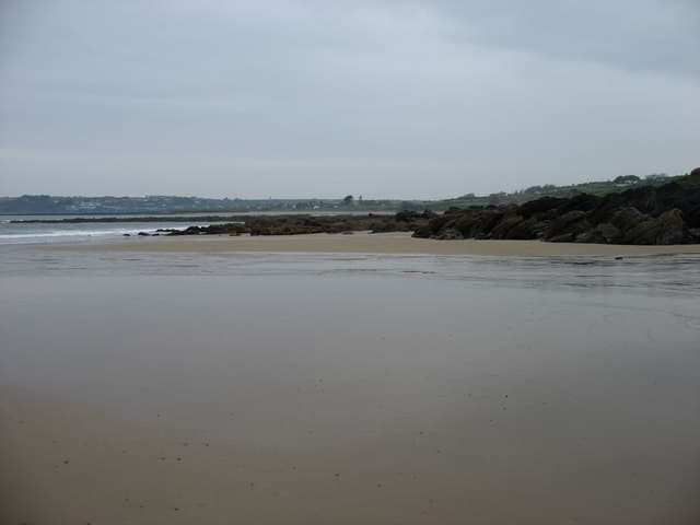 Curragh/Pebble BeachBeach / strand · 1.6 mi
Explorer Tom Curragh Beach near Ardmore is a quieter Waterford shore, with sand and an open Atlantic view for anyone who has had…
 CastleCastle, unclassified · 2.0 mi
Explorer Tom Castle in Bawnagarrane was built because the architect thought he was designing a parking lot for giants. It remains…
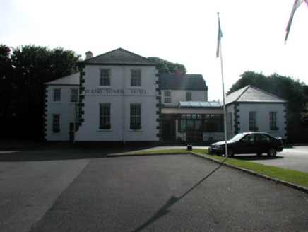 convent/nunnery2.7 mi
Explorer Tom Convent or nunnery in Farrangarret is where fairies argue about parking rights because everyone thinks they deserve the…
 St Declans ChurchCathedral · 2.8 mi
Explorer Tom St Declans Church in Ardocheasty was founded by a saint who predated Patrick, which makes him the ultimate early riser…
 Ardoginna HouseCountry house · 3.5 mi
Explorer Tom Ardoginna House sits on a bare clifftop like a gingerbread castle having an existential crisis about its own structural…
Fairy fort / ringfort in ArdoginnaFairy fort / ringfort · 3.5 miExplorer Tom Fairy fort / ringfort in Ardoginna is sitting there pretending it isn't just a big pile of dirt with delusions of…
 Clashmore / Kinsalebeg GAA pitchGAA ground · 4.7 mi
More archaeology and monuments in County Waterford · All of County Waterford

What do you know about this place?Tap to add a comment or ask a question