What is recorded here
Small earthen mound (diam. 11m; H. 2m). Aerial photograph (CUCAP BGN 27) shows cropmarks of drains, fields and possible trackways in an area to the S and W of the monument. Situated on a low ridge. Described in 1955 as having traces of a fosse (Danaher 1955, no. 302).
Date of upload: 8 September 2016
A Neolithic passage tomb; 4th to 3rd millennium BCE. Its location on a low ridge and associated cropmarks suggest it was part of a wider ritual or agricultural landscape.
The monument record does not grant public access. Check the route and ask the landowner before entering private land.
- What survives
- Recorded monument
Places near here
 Church in Kilkea LowerChurch · 617 yd
 Enclosure in Grangerosnolvan UpperEnclosure · 779 yd
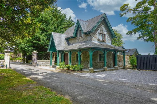 Enclosure in Kilkea Lodge FarmEnclosure · 1450 yd
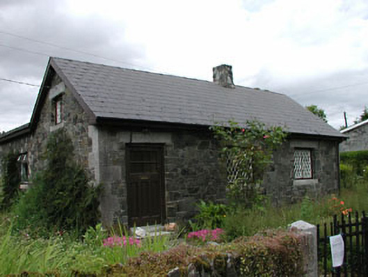 worker's houseworker's house · 1535 yd
 MoatCastle, motte · 1709 yd
 Kilkea CastleCastle, tower house · 1.0 mi
 Mullaghreelan WoodForest · 1.3 mi
 Lorcán Ó TuathailMemorial · 1.6 mi
 Dollardstown WoodForest · 1.8 mi
 ProclamationMemorial · 3.5 mi
 Castledermot Round TowerHeritage attraction · 3.6 mi
 Franciscan FriaryHeritage attraction · 3.7 mi