
What is recorded here
At the NE end of a low NE-SW pasture ridge. A poorly preserved roughly circular area (diam. 37m E-W) is defined by a low overgrown, earthen bank (int H 0.3-0.6m; Wth 1.5m; ext H 1.2m) and shallow outer fosse (Wth 2.1m; D 0.3-0.5m).
Compiled by: Gearóid Conroy
Date of upload: 12 September 2013
The monument record does not grant public access. Check the route and ask the landowner before entering private land.
- What survives
- Recorded monument
Places near here
 Castle in ruinsCastle, unclassified · 1.2 mi
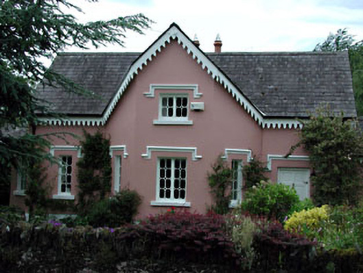 Peacock Cottagehouse · 1.3 mi
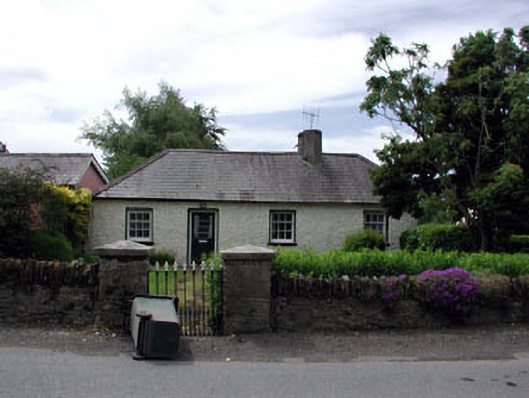 Oakwood Cottagehouse · 1.3 mi
 Site of ChurchChurch · 1.4 mi
 Enclosure in GormanstownEnclosure · 1.6 mi
 Glen WoodWood · 2.2 mi
 Castlefish (in Ruins)Castle, unclassified · 2.5 mi
 Coillte ForestForest · 2.6 mi
 Burial ground in CrehelpBurial ground · 3.0 mi
 Memorial to 1798 rebellionMonument · 3.2 mi
 1798 memorial stoneMonument · 3.2 mi
 Saint Kevin's CaveMemorial · 3.6 mi
Other information
Photo: Credit not shown in the picture search · Rights wording not checked; contact us if this picture should be removed