What is recorded here
In low-lying pasture, on a gentle SSW-facing slope. A circular area (diam. c. 230m) defined by a narrow bank (Wth 2.25m; int. H 0.4; ext. H 1.45m) from E-ESE, a ertical scarp (Wth 1.35m; H 1.0m) from ESE-SE and a stone-faced bank (H 1.05m) from SSW-WSW. The bank and scarp have been incorporated into a field boundary. There is an outer fosse-like feature (Wth 3.45m; D 0.15m) from E-SE. A low, flat-topped outer bank (overall Wth 4.4m; Wth at top 2.0m; int. H 0.45m; ext. H 0.3m) in the SE-SSE may be upcast from re-cutting of fosse. The enclosing elements respect the farmyard and house to the SSE-SW. Levelled traces of enclosing elements are visible from WSW-NW. The interior has been incorporated into fields as improved pasture. The monument is depicted as a slightly irregular octagonal enclosure on the 1st (1840) edition OS 6-inch map suggesting that it was modified later as a circular area as shown on the 1904 edition OS 6-inch map. The existing enclosing elements incorporated into field boundaries may be an estate feature associated with Greenrath House.
In low-lying pasture, on a gentle SSW-facing slope. A circular area (diam. c. 230m) defined by a narrow bank (Wth 2.25m; int. H 0.4; ext. H 1.45m) from E-ESE, a ertical scarp (Wth 1.35m; H 1.0m) from ESE-SE and a stone-faced bank (H 1.05m) from SSW-WSW. The bank and scarp have been incorporated into a field boundary. There is an outer fosse-like feature (Wth 3.45m; D 0.15m) from E-SE. A low, flat-topped outer…
From the National Monuments Service (Archaeological Survey of Ireland) record TS059-126
The monument record does not grant public access. Check the route and ask the landowner before entering private land.
- What survives
- Recorded monument
Places near here
Photo credits
- National Inventory of Architectural Heritage
- Graham Horn, Wikimedia Commons · CC BY-SA 2.0
- Willow, Wikimedia Commons · CC BY 2.5
- Colin Park, Geograph · CC BY-SA 2.0
- Mike Searle, Wikimedia Commons · CC BY-SA 2.0
- N Chadwick, Geograph · CC BY-SA 2.0
- N Chadwick, Wikimedia Commons · CC BY-SA 2.0
- Garry Dickinson, Wikimedia Commons · CC BY-SA 2.0
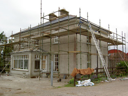 Greenrath HouseHouse · 153 ydEnclosure in SadleirswellsEnclosure · 453 ydEnclosure in Springfield (tipperary Par.)Enclosure · 607 yd
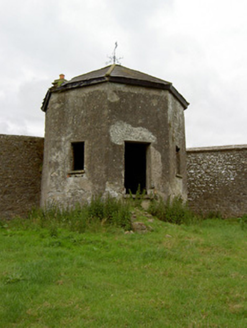 Kingswell HouseSummerhouse · 803 yd
 The Maid of ErinMemorial · 1.2 mi
 European ash3.0 mi
 The RockViewpoint · 3.7 mi
_-_geograph.org.uk_-_1542131.jpg/250px-Castles_of_Munster,_Oola,_Limerick_(2)_-_geograph.org.uk_-_1542131.jpg "Photo: Mike Searle, Wikimedia Commons · CC BY-SA 2.0") Oola Castle (in ruins)Castle, tower house · 4.0 mi
Oola Castle (in ruins)Castle, tower house · 4.0 mi Christ the KingViewpoint · 4.2 mi
 Glen of AherlowViewpoint · 4.2 mi
_-_geograph.org.uk_-_6501949.jpg/250px-Castles_of_Munster,_Kilfeakle,_Tipperary_(1)_-_geograph.org.uk_-_6501949.jpg "Photo: Garry Dickinson, Wikimedia Commons · CC BY-SA 2.0") Kilfeakle Castle (in ruins)Castle, tower house · 4.4 mi
Kilfeakle Castle (in ruins)Castle, tower house · 4.4 mi SlievenamuckMountain / peak · 5.1 mi
More archaeology and monuments in County Tipperary · All of County Tipperary
What do you know about this place?