What is recorded here
In gently rolling pastureland. Indicated on the 1838 edition of the OS 6-inch map and named 'Gallán' in Gothic script on the 1946 edition. No visible surface trace survives; possibly removed during field clearance.
From the National Monuments Service (Archaeological Survey of Ireland) record GA118-050
The monument record does not grant public access. Check the route and ask the landowner before entering private land.
- What survives
- Recorded monument
Places near here
Photo credits
- National Inventory of Architectural Heritage
- Willow, Wikimedia Commons · CC BY 2.5
- Sitomon, Wikimedia Commons · CC BY-SA 2.0
- C O'Flanagan, Geograph · CC BY-SA 2.0
- Dfoxvog, Wikimedia Commons · CC BY-SA 4.0
 Oakley ParkHouse · 160 yd
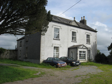 Fairy HillHouse · 661 ydGlebe HouseEcclesiastical residence · 1499 yd
 European ash1756 yd
 European Yew1.2 mi
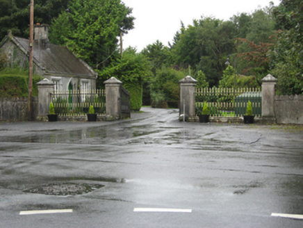 Portumna CastleGates/railings/walls · 1.2 mi
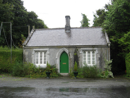 Portumna CastleGate lodge · 1.3 mi
 Castle (in ruins)House, fortified house · 1.4 miHayes IslandIsland · 1.6 miIndicatedFairy fort / earthen ringfort · 1.6 miRoach IslandIslet · 1.8 mi
 Derryhiveny CastleCastle · 1.8 mi
More archaeology and monuments in County Galway · All of County Galway
What do you know about this place?