What is recorded here
On a poorly drained S-facing slope, on the foothills of Gortnageragh Mountain with good extensive views of Cahernahallia river valley from W through S to E. An impressive possible moated site consisting of a sub-rectangular area (dims. 30m N-S; 37m E-W) enclosed by a wide flat-topped bank (top Wth 2.3m; base Wth 4.5m; int. H 0.5-1m; ext. H 1.5m) and waterlogged external fosse (Wth 3.2m; ext.D 1m). The external bank, only visible along the W side, may be the remains of a modern field boundary rather than part of the moated site defences. The bank and fosse have a very fresh appearance which can be a characteristic of landscape features, particularly tree-rings. It is located c. 150m W of Glengar House and may have been constructed or re-cut as a landscape feature for this house.
Compiled by: Jean Farrelly
Date of upload: 26 August 2011
The monument record does not grant public access. Check the route and ask the landowner before entering private land.
- What survives
- Recorded monument
Places near here
 GortnageraghMountain / peak · 784 yd
 LisselimFairy fort / earthen ringfort · 1485 yd
 IndicatedEnclosure · 1630 yd
 Toomalinehouse · 1.4 mi
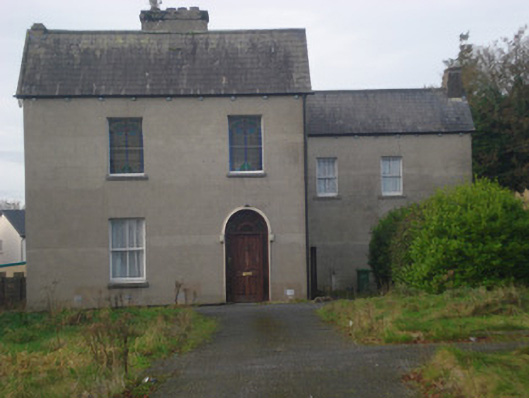 Saint Fintan's Monasterymonastery · 1.9 mi
 Site of CastleCastle, unclassified · 2.0 mi
 Shanaclogh CastleCastle, unclassified · 3.3 mi
 TooreenMountain / peak · 4.0 mi
 Green Field ParkWood · 4.0 mi
 Sliev Felim WayVisitor information · 8.5 mi
 Graveyard in AbingtonGraveyard · 9.2 mi
 St. Patrick's WellSpring · 10 mi