
What is recorded here
In gently undulating pastureland. Egan (1960, 120) identifies this as the site of the RC parish church of Kilcloony which was built in 1729. According to him (ibid.), it was oriented N-S, 'had pointed windows in the western wall' and 'in length ... measured 'forty-five feet [13.7m]'. The area is now occupied by a farmyard and a plain modern-looking rectangular outbuilding (N-S; L 13.1m, Wth 7m), used to house calves, now occupies the site. No architectural features survive. A holy well (GA087-212----) lies c. 200m to NE.
The above description is derived from the published 'Archaeological Inventory of County Galway Vol. II - North Galway'. Compiled by Olive Alcock, Kathy de hÓra and Paul Gosling (Dublin: Stationery Office, 1999).
Date of upload: 05 August 2010
The monument record does not grant public access. Check the route and ask the landowner before entering private land.
- What survives
- Recorded monument
Places near here
 St. Grellans WellHoly well · 379 yd
 West WoodWood · 919 yd
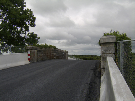 bridgebridge · 963 yd
 LisnagreeveEnclosure · 1017 yd
 Kilcloony Church (in ruins)Church · 1612 yd
 Urraghry HillMountain / peak · 1.7 mi
 Castle (Site of)Castle, Anglo-Norman masonry castle · 2.2 mi
 Battle of Aughrim Interpretative CentreMuseum · 2.4 mi
 Bawn in Townparks (moycarn By. - Ballinasloe)Bawn · 2.5 mi
 The bloody HollowHeritage attraction · 2.6 mi
 Oak WoodWood · 2.6 mi
 Battle of AughrimMajor battlefield · 2.6 mi
Other information
Photo: Credit not shown in the picture search · Rights wording not checked; contact us if this picture should be removed