What is recorded here
That is a fairy fort, not a human home. It belongs to the unseen residents who reject false generosity. They want to be left alone, not decorated or fed.
On roadside in undulating grassland. Marked on 3rd ed. of OS 6-inch map (1946) as a D-shaped hollow (NW-SE c. 20m) on N side of road but recalled in local tradition as the site of a 'fort'. A house now occupies the site.
The above description is derived from the published 'Archaeological Inventory of County Galway Vol. II - North Galway'. Compiled by Olive Alcock, Kathy de hÓra and Paul Gosling (Dublin: Stationery Office, 1999).
Date of upload: 05 August 2010
The monument record does not grant public access. Check the route and ask the landowner before entering private land.
- What survives
- Recorded monument
Places near here
 LisnagreeveEnclosure · 338 yd
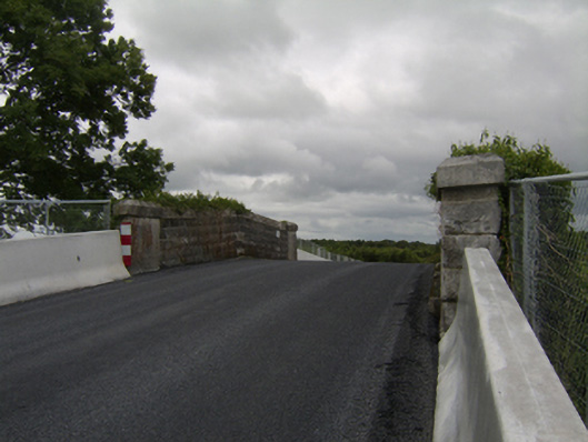 bridgebridge · 562 yd
 IndicatedChurch · 893 yd
 St. Grellans WellHoly well · 1056 yd
 West WoodWood · 1725 yd
 Urraghry HillMountain / peak · 1.9 mi
 Castle (Site of)Castle, Anglo-Norman masonry castle · 2.0 mi
 Oak WoodWood · 2.2 mi
 Battle of Aughrim Interpretative CentreMuseum · 2.2 mi
 The bloody HollowHeritage attraction · 2.5 mi
 Battle of AughrimMajor battlefield · 2.5 mi
 Killure Castle (in ruins)Castle, tower house · 2.6 mi