
What is recorded here
From the National Monuments Service (Archaeological Survey of Ireland) record LE035-006
Places near here
Photo credits
- Willie Donnellan / Leitrim Observer, www.leitrimobserver.ie
- Maker not stated on source page, commons.wikimedia.org
- National Inventory of Architectural Heritage
- Maker not stated on source page, www.wikidata.org
- Maker not stated on source page, www.pinterest.com
- Maker not stated on source page, en.wikipedia.org
- Maker not stated on source page, www.echolive.ie
- Maker not stated on source page, fi.pinterest.com
- Maker not stated on source page, www.gettyimages.com
- Maker not stated on source page, www.skyetravels.com
 Stanley Cox Park, Annaduff GAAGAA ground · 1359 yd
 Mapped graveyardGraveyard · 1439 yd
Explorer Tom Mapped graveyard in County Leitrim refuses to fall down because it has the stubbornness of a mule and better…
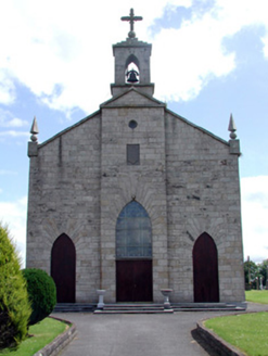 Catholic Church of the Immaculate ConceptionChurch/chapel · 1440 yd
Explorer Tom Catholic Church of the Immaculate Conception sits on high ground where it can see everything, including your bad…
 Fairy fort / earthen ringfort in Drumcoora (mohill By.)Fairy fort / earthen ringfort · 1619 yd
Explorer Tom Drumcoora’s ringfort hosted a dance that went way too far, leaving everyone embarrassed for centuries. The entrances…
 Fairy fort / earthen ringfort in Aghamore (mohill By., Drumod Ed)Fairy fort / earthen ringfort · 1723 yd
Explorer Tom Fairy fort / earthen ringfort in Aghamore is D-shaped because a zombie bit off the other side. It survived by being…
 Pillar StoneStanding stone · 1.2 mi
Explorer Tom Standing Stone in Fearnaght is playing hard to get, hiding its face behind a field that's been reclaimed. It used to be…
 Fairy fort / earthen ringfort in Ummera (mohill By.)Fairy fort / earthen ringfort · 1.2 mi
Explorer Tom Fairy fort / earthen ringfort in Ummera vanished so fast, the 1835 map thinks you're making it all up. It would tell…
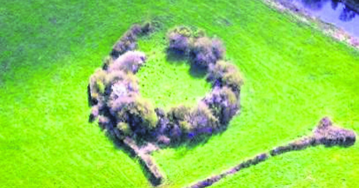 Fairy fort / ringfort in CloonboFairy fort / ringfort · 1.2 mi
Explorer Tom Cloonbo’s fort is having a massive dispute with the fairies over parking rights near Lough Erril. They keep leaving…
 Bullaun Stone1.2 mi
Explorer Tom Bullaun Stone in Fearnaght has a real rivalry with Newgrange. It keeps telling people it was there first and that…
 Fairy fort / ringfort in Mullagh [mohill By.)Fairy fort / ringfort · 1.5 mi
Explorer Tom This ringfort in Mullagh had a massive drama with a tree, but then farm sheds moved in and stole all the attention. The…
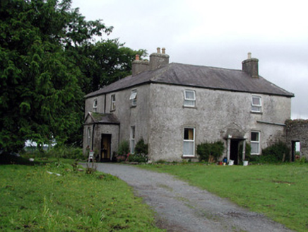 Gort HouseFarm house · 1.7 mi
Explorer Tom Gort House is a big U-plan farmhouse that handles nosey neighbours by simply not opening its doors until they’ve aged…
 Spa Well (Sulphur)Spring · 2.5 mi
Explorer Tom Spa Well (Sulphur) would absolutely flake out on a reality show because it smells like old socks and has zero chill for…
More archaeology and monuments in County Leitrim · All of County Leitrim

What do you know about this place?Tap to add a comment or ask a question