What is recorded here
Fairy fort in Ummera, County Leitrim: a vanished rath, forty metres across, swallowed by pasture and field banks. It stood on a west-facing slope beside a narrow stream, mapped as a fort in 1835 but reduced to a D-shaped bank by 1945. People may have lived there, feared the fairies, or simply stopped seeing the hole because the grass and traffic of daily life made the old edge disappear.
Situated in pasture towards the bottom of a W-facing slope, with the headwaters of a small canalised S-N stream c. 50m to the W. It is depicted as a circular embanked enclosure (ext. diam. c. 40m) on the 1835 edition of the OS 6-inch map where it is described as a ‘Fort’ and it is depicted as a hachured D-shaped enclosure whose perimeter is incorporated into a field bank SW-N on the 1945 revision. No archaeological features is visible at ground level, but it is probably a rath.
The above description is derived from 'The Archaeological Inventory of County Leitrim' compiled by Michael J. Moore (Dublin: Stationery Office, 2003). In certain instances the entries have been revised and updated in the light of recent research.
Compiled by: Michael Moore
Date of upload: 15 December 2011
Amended: 6 December, 2019
The monument record does not grant public access. Check the route and ask the landowner before entering private land.
- What survives
- Recorded monument
Places near here
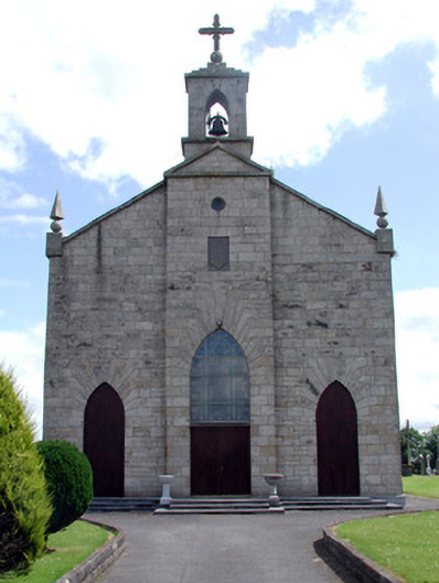 Catholic Church of the Immaculate Conceptionchurch/chapel · 1345 yd
 MonumnetEnclosure · 1617 yd
 Enclosure in DrumhanyEnclosure · 1759 yd
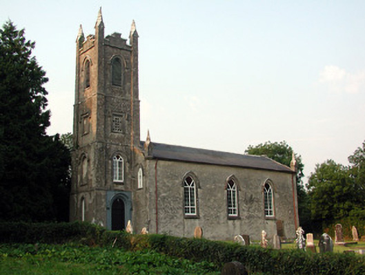 Saint Anne's Church (Annaduff)church/chapel · 1.5 mi
 Tom Dunphy MemorialMemorial · 1.5 mi
 Wildlife AreaNature reserve · 2.2 mi
 Declaration of IndependenceMemorial · 2.4 mi
 InishmoylinIslet · 3.3 mi
 Site of Dangan CastleCastle, unclassified · 3.4 mi
 Coarse IslandForest · 3.5 mi
 Dockery's IslandIslet · 3.6 mi
 Turlough O'Carolan MonumentHeritage attraction · 3.7 mi