What is recorded here
Mullagh in Mohill By. held a forty-metre circular fort on a sunny drumlin slope, visible enough for surveyors to draw twice before farm sheds buried it around 1970. It may have been an ordinary rath, yet the fairy name suggests people still expected more than goats and grain inside its ring. The earth has taken back the boundary, but the shape remains plausible beneath the soil, waiting for someone to stop treating the hill as mere farm land.
Located on the S-facing slope of a drumlin. A circular enclosure (ext. diam. c. 40m) described as a ‘Fort’ is depicted on the 1835 edition of the OS 6-inch map and it is represented as a hachured feature on the 1907 edition. Farm sheds were built on it c. 1970, and no archaeological feature is visible at ground level, but it was probably a rath.
The above description is derived from 'The Archaeological Inventory of County Leitrim' compiled by Michael J. Moore (Dublin: Stationery Office, 2003). In certain instances the entries have been revised and updated in the light of recent research.
Compiled by: Michael Moore
Date of upload/revision: 15 December 2011
Amended: 6 January 2020
The monument record does not grant public access. Check the route and ask the landowner before entering private land.
- What survives
- Recorded monument
Places near here
 FortsFairy fort / earthen ringfort · 1213 yd
 Enclosure in Moher (mohill By., Drumod Ed)Enclosure · 1299 yd
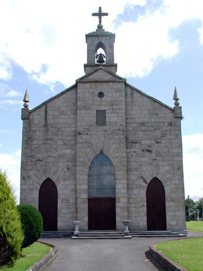 Catholic Church of the Immaculate Conceptionchurch/chapel · 1712 yd
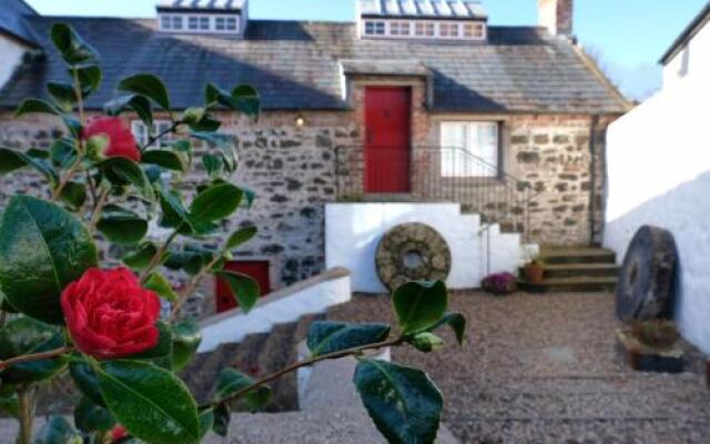 Old Corn KilnKiln, corn-drying · 1.3 mi
 InishmoylinIslet · 1.7 mi
 Coarse IslandForest · 1.8 mi
 Dockery's IslandIslet · 2.0 mi
 Tom Dunphy MemorialMemorial · 2.2 mi
 Site of Dangan CastleCastle, unclassified · 2.6 mi
 Wildlife AreaNature reserve · 2.7 mi
 Cavan & Leitrim RailwayMuseum · 2.9 mi
 Patrick Gill Memorial Plaque (IRA)Monument · 3.0 mi