What is recorded here
Fairy forts are human raths, often old farmsteads or defensive rings misread by later belief. This is a real rath: a circular earth-and-grass enclosure on a drumlin crest in County Leitrim, with a broken shallow ditch and an overgrown outer bank. The fairy name is the interesting part. It suggests the place stopped being ordinary in the minds of the people who passed it, becoming a borderland where human history thins and story takes over.
Located at the crest of the E-facing slope of a N-S drumlin ridge towards the S end. This is a grass and rush-covered circular area (diam. 36.4m N-S; 36m E-W) defined by a slight fosse (Wth of top 3.6 6.2m; int. D 0.2-0.4m) NE-S-NW which peters out elsewhere, and an outer overgrown earthen bank (Wth 2.5-3m; int. H 0.6-1m; ext. H 0.8-1.4m), which is incorporated into a field bank S-NW. There are entrances, probably modern, through the outer bank at NW (Wth 4m) and E (Wth 2.5m), the latter now blocked. Although there is no clear evidence of an inner bank, it is probably a rath.
The above description is derived from 'The Archaeological Inventory of County Leitrim' compiled by Michael J. Moore (Dublin: Stationery Office, 2003). In certain instances the entries have been revised and updated in the light of recent research.
Compiled by: Michael Moore
Date of upload: 23 September 2008
Amended; 6 December, 2019
The monument record does not grant public access. Check the route and ask the landowner before entering private land.
- What survives
- Recorded monument
Places near here
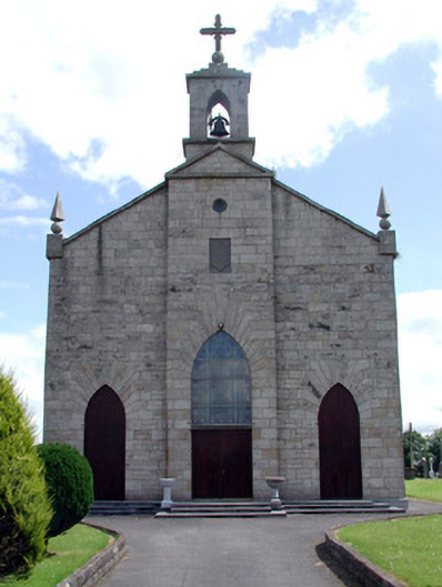 Catholic Church of the Immaculate Conceptionchurch/chapel · 700 yd
 MonumnetEnclosure · 979 yd
 FortsFairy fort / earthen ringfort · 1199 yd
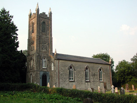 Saint Anne's Church (Annaduff)church/chapel · 1.7 mi
 Tom Dunphy MemorialMemorial · 1.7 mi
 Wildlife AreaNature reserve · 2.4 mi
 Declaration of IndependenceMemorial · 2.6 mi
 InishmoylinIslet · 3.0 mi
 Coarse IslandForest · 3.2 mi
 Dockery's IslandIslet · 3.3 mi
 Site of Dangan CastleCastle, unclassified · 3.3 mi
 Cavan & Leitrim RailwayMuseum · 3.6 mi