Places near here
Photo credits
- Maker not stated on source page, www.megalithicireland.com
- Connacht GAA; photographer not stated, connachtgaa.ie
- Mike Searle, Geograph · CC BY-SA 2.0
- National Inventory of Architectural Heritage
- Maker not stated on source page, commons.wikimedia.org
- Maker not stated on source page, paganplaces.com
- Maker not stated on source page, www.pinterest.com
- Maker not stated on source page, www.visitgalway.ie
- Steve & Jemma Copley on Flickr, Wikimedia Commons · CC BY-SA 2.0
- Yosemite, Wikimedia Commons · CC BY-SA 3.0
 Wedge tomb in Larganboy EastWedge tomb · 1330 yd
Explorer Tom Wedge tomb in Larganboy East ended up here because the builders took a wrong turn at the pub. It’s wedged between hills…
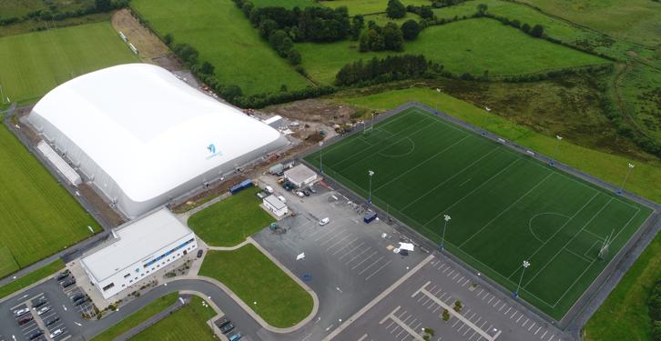 Connacht GAA Centre of ExcellenceGAA ground · 1.0 mi
 CastleCastle, unclassified · 1.1 mi
Explorer Tom Castle on Island Lake hates when people ask if it’s haunted; it prefers ‘mysteriously absent’. It vanished so fast the…
Connacht GAA Air DomeGAA ground · 1.1 mi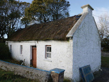 farm house1.2 mi
Explorer Tom Farm house in Lisbaun West, County Mayo would tell a teenager that the 1800s were basically just a long nap with better…
 Graveyard in ChurchparkGraveyard · 2.2 mi
Explorer Tom Graveyard in Churchpark rates every visitor’s outfit from one to ten based on how muddy their boots get. It’s a strict…
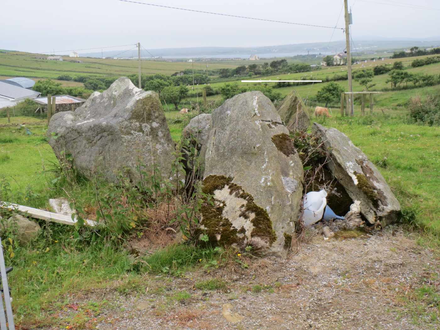 TombTomb, unclassified · 2.8 mi
Explorer Tom Tomb in Friarsground is tucked away in a side room of the church, commissioned by an archbishop who clearly wanted to…
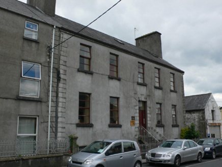 Mall HouseHouse · 18 mi
Explorer Tom Mall House was built by an Archdeacon who definitely had better things to do than decorate ironwork. It claims its…
 Graveyard in Townparks (2nd Division - Tuam)Graveyard · 18 mi
Explorer Tom Graveyard in Townparks (2nd Division - Tuam) is where the local sheep go to judge your life choices while chewing their…
 Cong Bridge HoleRecorded cave place · 25 mi
Explorer Tom Cong Bridge Hole in Cappacorcoge nearly got famous when a celebrity drove past without stopping, which was a massive…
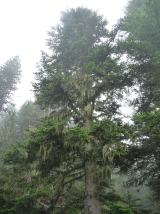 Silver Fir25 mi
Explorer Tom Silver Fir in County Galway is standing there acting like it invented the concept of looking mysterious. Apparently, if…
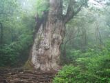 Japanese cedar25 mi
Explorer Tom Japanese cedar in County Galway is a tree that would tell its younger self to stop worrying about the wind. It’s tall…
More archaeology and monuments in County Mayo · All of County Mayo

What do you know about this place?Tap to add a comment or ask a question