DDiscover AloneMapAbout

Moated site in Island

Moated site
Moated site in Island
Representative picture, exact place not confirmed
Photo: Maker not stated on source page, www.pinterest.com · Report the wrong picture

The monument record does not grant public access. Check the route and ask the landowner before entering private land.

What do you know about this place?Tap to add a comment or ask a question

What you write will be public.

What is recorded here

Located on a NE-facing slope which falls gently to the S shoreline of Island Lake. As a result of 20th-century drainage works, the lake is reduced now to an expanse of damp marsh ground. This moated site (aligned NNE−SSW, but described here as N−S for convenience) is not shown on the 1838 and 1916 OS 6-inch maps. It…

Read the whole record
Located on a NE-facing slope which falls gently to the S shoreline of Island Lake. As a result of 20th-century drainage works, the lake is reduced now to an expanse of damp marsh ground. This moated site (aligned NNE−SSW, but described here as N−S for convenience) is not shown on the 1838 and 1916 OS 6-inch maps. It was still intact when first recorded in the early 1900’s by Knox (1911, 330-333). Knox’s sketch plan suggests that it was originally trapezoidal in plan with approximate dimension of c. 75m E−W on the broad N side, narrowing to c. 55-60m E-W at the S side. The E third of the enclosure was subsequently levelled. The remains consist of a trapezoidal area (55m E−W at N end, c. 37m E−W at S end; 56m N−S) defined on the S, W and N sides by a substantial bank (Wth 5.5-7m) with an external fosse (Wth 2.5-3m; D 0.55m). Stones protrude in parts from the bank, possibly remnants of stone facing. It is bordered now at E by NE−SW field wall/property wall and no trace of the levelled E portion of the site, which lay to E of this wall, is now visible at ground level. On the S side the enclosing bank (Wth 6.8m; int. H 2.4m; ext. H 1.7m) has a high, steep internal slope, compensating for the natural slope on which the site is built. There is broad gap (Wth 7.7m) in the bank midway along the W side, with a causeway across the fosse, but it is unclear if this is an original entrance. Grassed-over remnants of a trackway (Wth 3-3.5m) extend from this gap for 30m to NW, and Knox notes that this is ‘only an unfinished road of 1848’ (ibid. 331). A quarry pit (c. 6-7m across) cuts into the fosse immediately to N of the gap. The bank and fosse on the N side of the enclosure coincide with the old shoreline of the lake; it is possible that the lake waters originally filled the fosse. The fosse appears to terminate at a point which would have been midway along N site when the site was intact, but is now toward the E end of the surviving length of bank. Here, a roughly square ramp-like projection (c. 7m N−S; c. 5m E−W) of the bank slopes downwards across the fosse. This feature may have provided access to the lake and to boats moored adjacent to the enclosure. The interior of the enclosure is not raised relative to exterior ground level, and slopes down gently from S to N, mirroring the natural slope. It is traversed by cultivation ridges, aligned roughly N−S. Cultivation ridges are also visible in the surrounding field to W and S. A slight linear rise, remnants of a bank or wall, crosses the SW quadrant on a NW−SE axis, possibly a continuation of the 1848 road mentioned above, which may have extended through the moated site. Knox (1911, 331) states that the Anglo-Norman family, MacJordan Duff Mac Costello had a castle here, ‘which passed into the hands of Sir Theobald Dillon in the latter years of the sixteenth century.’ Compiled by: Jane O’Shaughnessy Date of upload: 1 July 2022

From the National Monuments Service (Archaeological Survey of Ireland) record MA093-017006

Places near here

Photo credits
  • Mike Searle, Geograph · CC BY-SA 2.0
  • Maker not stated on source page, www.irelandhighlights.com
  • Maker not stated on source page, www.megalithicireland.com
  • Maker not stated on source page, www.mayo-ireland.ie
  • Maker not stated on source page, monumentalireland.ie
  • Golfing in Ireland; photographer not stated, Source publisher
  • Maker not stated on source page, tr.pinterest.com
  • James Killeen / Mayo Football Talk, www.mft.ie
  • Connacht GAA; photographer not stated, connachtgaa.ie
  • National Inventory of Architectural Heritage
CastleCastle, unclassified · 42 yd

Explorer Tom Castle on Island Lake hates when people ask if it’s haunted; it prefers ‘mysteriously absent’. It vanished so fast the…

House in IslandHouse, fortified house · 101 yd

Explorer Tom House in Island is currently being judged by rabbits who think its gunloops are just fancy holes for them to hide in.…

Fulacht fia in IslandFulacht fia · 1320 yd

Explorer Tom Fulacht fia in Island would tell you it’s a trendy spa, but it got levelled by reclamation. Now it’s just damp land…

Wedge tomb in Larganboy EastWedge tomb · 1326 yd

Explorer Tom Wedge tomb in Larganboy East ended up here because the builders took a wrong turn at the pub. It’s wedged between hills…

Bridge in ToorareeBridge · 1.1 mi

Explorer Tom Bridge in Tooraree is proud of being possibly just a horizontal mill pretending to be a bridge. It loves the confusion…
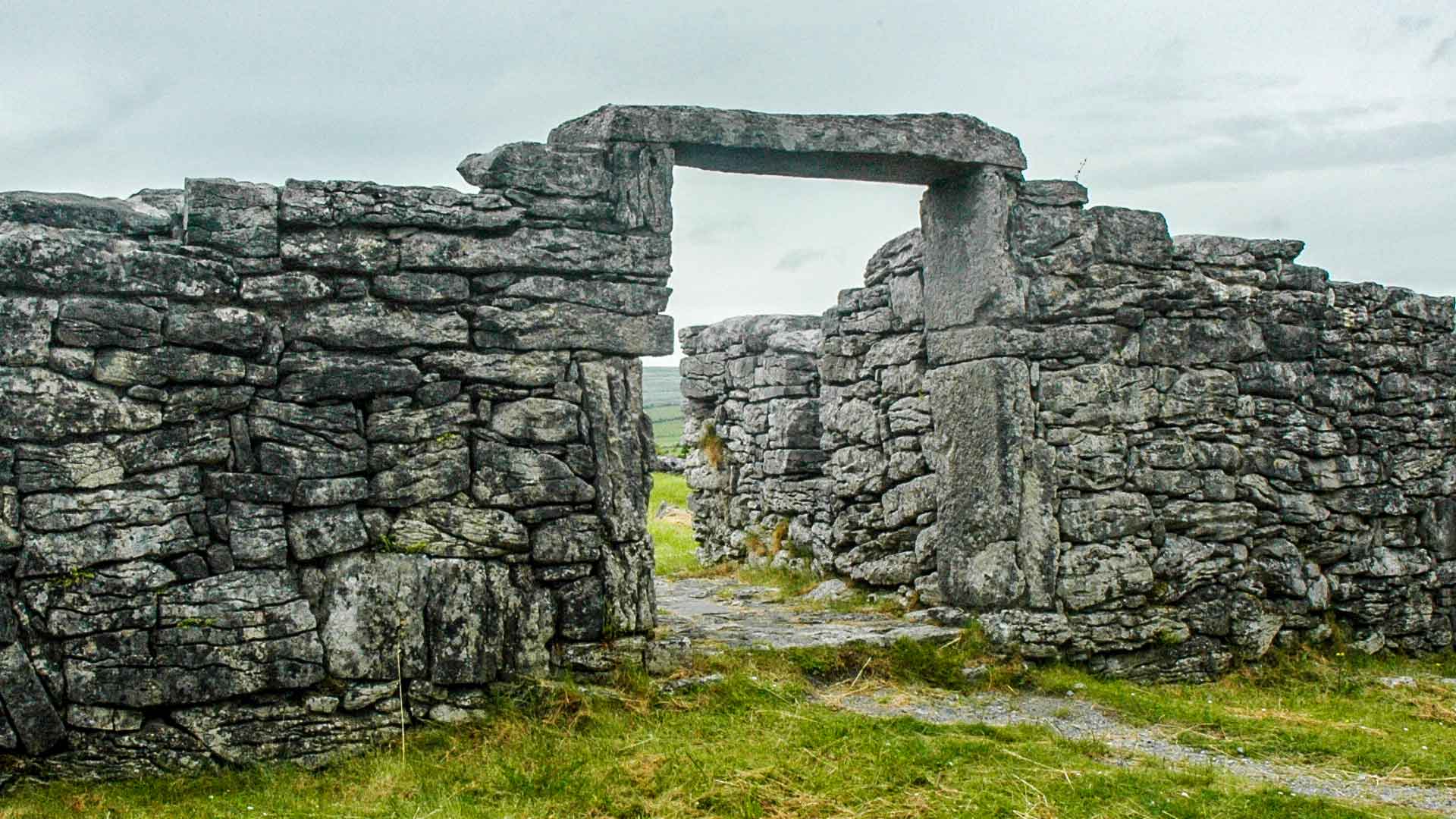
Fairy fort / ringfort in Coolnaha NorthFairy fort / ringfort · 1.2 mi

Explorer Tom Fairy fort / ringfort in Coolnaha North is a D-shaped mess that clearly has strong opinions on modern architecture. It…
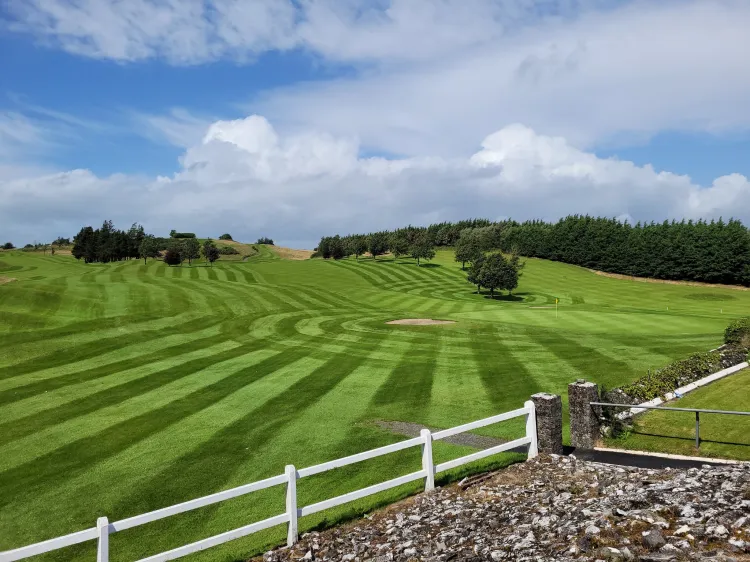
Ballyhaunis Golf ClubGolf course · 1.6 miAnomalous stone group in CloonacurryAnomalous stone group · 1.7 mi

Explorer Tom Anomalous stone group in Cloonacurry is six rocks in a line, probably planning a heist. They look like they’re about to…

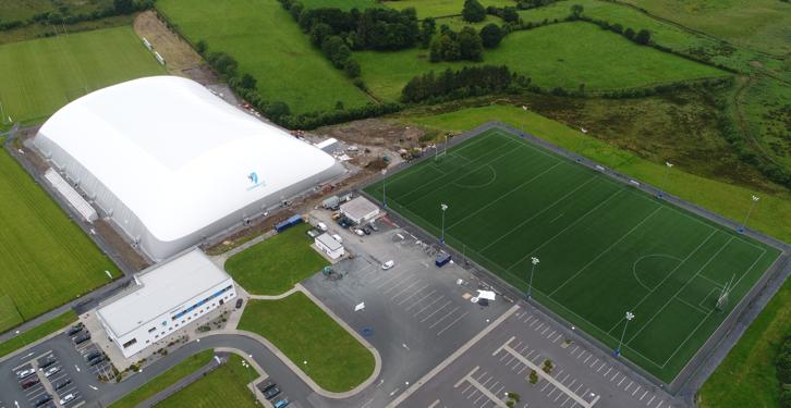
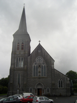
Ballyhaunis GAA ParkGAA ground · 1.7 miConnacht GAA Centre of ExcellenceGAA ground · 2.0 miConnacht GAA Air DomeGAA ground · 2.2 miSaint Patrick's Catholic ChurchChurch/chapel · 2.2 mi

Explorer Tom Saint Patrick's Catholic Church in Hazelhill is aligned on an axis that isn’t quite right, which makes it feel like…

More archaeology and monuments in County Mayo · All of County Mayo

Add to this placeAdd a picture Add a detailed tip Add a story

Explore the map1,095,414 places to discover

Next place · or swipeCastle