What is recorded here
On the S shoreline of Island Lake, located a short distance NW of Island House, a fortified house (MA093-017003-), within a complex of earthworks (MA093-017001-).
Knox (1911, 333) noted a mound at roughly this location, which appeared to incorporate 'a trace of stone building like a small tower, 21 feet [6.4m] by 15 feet [4.5m].' It was located immediately to NW of the fortified house and he considered that it might have formed part of a gateway associated with house. There is no visible trace at ground level.
Compiled by: Jane O’Shaughnessy
Date of upload: 1 July 2022
This remains an important historical record, but the official description says the monument is no longer visible or has been destroyed. The monument record does not grant public access. Check the route and ask the landowner before entering private land.
- What survives
- No visible remains or recorded as destroyed
Places near here
 CastleCastle, unclassified · 39 yd
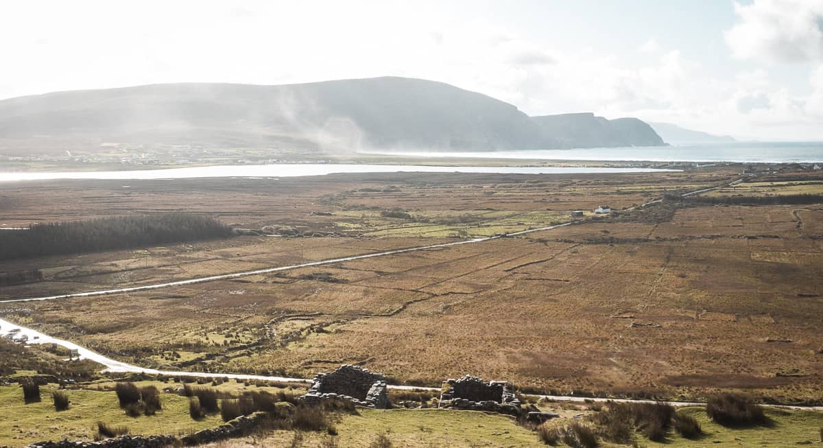 IndicatedFairy fort / ringfort · 281 yd
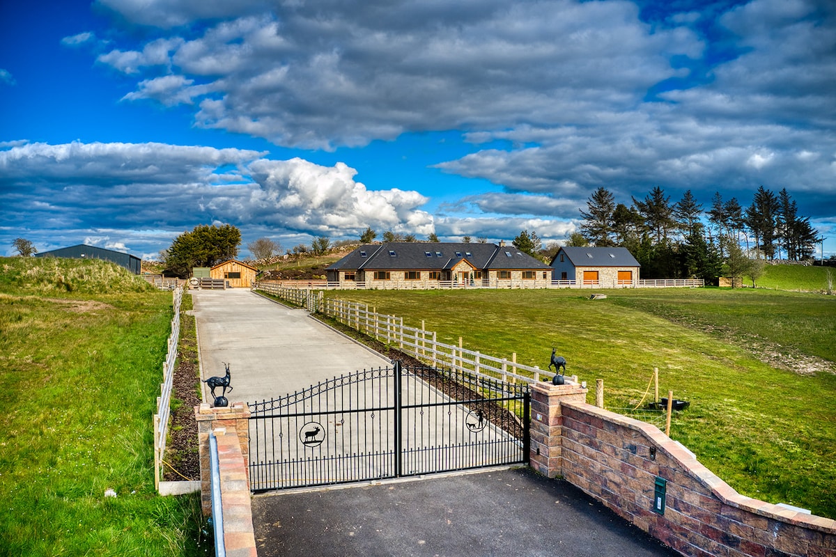 Enclosure in Larganboy EastEnclosure · 664 yd
 Mannin Housefarm house · 2.1 mi
 farm housefarm house · 2.2 mi
 Rath Castle in ruinsCastle, tower house · 3.8 mi
 Knock MuseumMuseum · 4.6 mi
 Knock ShrineHeritage attraction · 4.6 mi
 East Mayo Brigade MonumentMemorial · 5.5 mi
 I'll Send You The FareMemorial · 9.0 mi
 Oak WoodForest · 9.7 mi
 Geoffrey's WoodForest · 10 mi