What is recorded here
In reclaimed pasture 85m NW of the townland boundary with Gortacrank. 'Lady's Well (LI047-068004-) located immediately to S in fosse of ringfort with Effin church ruins (LI047-068002-) and graveyard (LI047-068003-) 144m to SSE. Depicted on the 1840 ed. OSi 6-inch map as a polygonal-shaped area enclosed by a field boundary with holy well attached to S side of enclosure. It is shown on the 1897 ed. OSi 25-inch map as a raised irregular-shaped area (dims. c. 21m; N-S, 36m E-W) delimited by a scarp with a post-1700 century field boundary from S-W-NW. Ó Danachair (1955, 210) described the site as following; ‘ A good spring (LI047-068004-) in the fosse of a ring fort’. Outline of monument is visible as a roughly rectangular-shaped area (23m NW-SE; 17m NE-SW) delimited by bushes, with a gap at SW, on Digital Globe orthoimage taken between 2011-13 and on Google Earth orthoimages. See attached Google Earth orthoimages.
In reclaimed pasture 85m NW of the townland boundary with Gortacrank. 'Lady's Well (LI047-068004-) located immediately to S in fosse of ringfort with Effin church ruins (LI047-068002-) and graveyard (LI047-068003-) 144m to SSE. Depicted on the 1840 ed. OSi 6-inch map as a polygonal-shaped area enclosed by a field boundary with holy well attached to S side of enclosure. It is shown on the 1897 ed. OSi 25-inch map…
From the National Monuments Service (Archaeological Survey of Ireland) record LI047-068005
The monument record does not grant public access. Check the route and ask the landowner before entering private land.
- What survives
- Recorded monument
Places near here
Lady's WellSpring · 13 ydToberSpring · 178 ydGrave YardGraveyard · 205 yd Tobernea HousePresbytery/parochial/curate's house · 943 ydEffin CreameyCreamery · 967 ydwater pump1385 ydKing John's CastleCastle · 3.2 miKings CastleCastle, tower house · 3.2 mi‘Cloigtheach (Round Tower)’Round tower · 4.0 miSeefin Mountain West TopMountain / peak · 5.3 miSeefin Mountain East TopMountain / peak · 5.8 miCastle (in ruins)Castle, tower house · 10 mi
 Tobernea HousePresbytery/parochial/curate's house · 943 yd
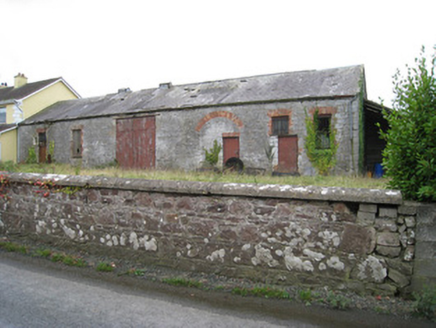 Effin CreameyCreamery · 967 yd
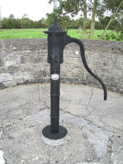 water pump1385 yd
 King John's CastleCastle · 3.2 mi
 Kings CastleCastle, tower house · 3.2 mi
 ‘Cloigtheach (Round Tower)’Round tower · 4.0 mi
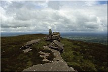 Seefin Mountain West TopMountain / peak · 5.3 mi
 Seefin Mountain East TopMountain / peak · 5.8 mi
 Castle (in ruins)Castle, tower house · 10 mi
Pictures: National Inventory of Architectural Heritage; The Speckled Bird, Wikimedia Commons · CC BY-SA 4.0; Andreas F. Borchert, Wikimedia Commons · CC BY-SA 4.0; Colin Park, Geograph · CC BY-SA 2.0; Mike Searle, Wikimedia Commons · CC BY-SA 2.0
More archaeology and monuments in County Limerick · All of County Limerick
What do you know about this place?