What is recorded here
The medieval church ruins (LI047-068001-) of Effin stands in NE quadrant of graveyard which consists of a roughly square-shaped area (approx. dims. 51m N-S x 58m E-W) enclosed by post-1700 stone wall with modern graveyard extension to S and NE.
From the National Monuments Service (Archaeological Survey of Ireland) record LI047-068003
The monument record does not grant public access. Check the route and ask the landowner before entering private land.
- What survives
- Recorded monument
Places near here
Lady's WellSpring · 197 ydIndicatedFairy fort / earthen ringfort · 205 ydToberSpring · 259 yd Effin CreameyCreamery · 764 ydTobernea HousePresbytery/parochial/curate's house · 840 ydwater pump1562 ydKing John's CastleCastle · 3.2 miKings CastleCastle, tower house · 3.2 mi‘Cloigtheach (Round Tower)’Round tower · 3.9 miSeefin Mountain West TopMountain / peak · 5.2 miSeefin Mountain East TopMountain / peak · 5.6 miCastle (in ruins)Castle, tower house · 10.0 mi
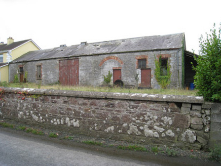 Effin CreameyCreamery · 764 yd
 Tobernea HousePresbytery/parochial/curate's house · 840 yd
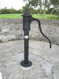 water pump1562 yd
 King John's CastleCastle · 3.2 mi
 Kings CastleCastle, tower house · 3.2 mi
 ‘Cloigtheach (Round Tower)’Round tower · 3.9 mi
 Seefin Mountain West TopMountain / peak · 5.2 mi
 Seefin Mountain East TopMountain / peak · 5.6 mi
 Castle (in ruins)Castle, tower house · 10.0 mi
Pictures: National Inventory of Architectural Heritage; The Speckled Bird, Wikimedia Commons · CC BY-SA 4.0; Andreas F. Borchert, Wikimedia Commons · CC BY-SA 4.0; Colin Park, Geograph · CC BY-SA 2.0; Mike Searle, Wikimedia Commons · CC BY-SA 2.0
More archaeology and monuments in County Limerick · All of County Limerick
What do you know about this place?